


July 12, Marin County
Tomales Bay State Park to the American Youth Hostel near Limantour Beach, Point Reyes National Seashore. 10.8 miles
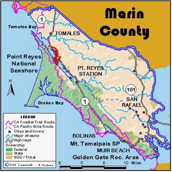
Returning to Hearts Desire Beach after a day of rest, we began the day with our old friend Sue Baty to again lead us and Russ Faure-Brac who had read of the journey in the San Francisco Chronicle. Also joining us briefly was Marc Sanchez-Corea, a photo-journalist with the San Francisco ABC television affiliate, KGO. Marc promised to be back on July 16 with a reporter to help chronicle our trip. We rose out of Hearts Desire by way of the Johnstone Trail. Along the way, we passed a wonderful paper wasp nest, perhaps a foot in diameter, just off the trail. As the trail topped out, we came upon unseasonably early ripe huckleberries. When we left State Park lands and entered into the Point Reyes National Seashore, Sue passed the leadership baton on to Sue Flagg and friend Carlo Rocca. We began this part of the day by walking up a steep “authorized vehicles only” road and then, with a few small exceptions walking along the Mt. Vision Road, followed a little used trail that at two places was signed as the “Lewis Trail”. For some inexplicable reason, parts of this sometimes steep trail had periodic 18-inch high steps in it, a challenge to those of us with weak knees.
The trail gained the ridge, entering into the area burned by the Mount Vision Fire of 1996. The lack of mature vegetation here gave us magnificent views. Visible were Mount St. Helena, Mount Tamalpais, Sonoma Mountain, Mount Barnaby and the ridge between the Napa and Sonoma Valleys, not to mention all the west Sonoma and Martin County ridges. Leaving the trail, we walked the last ½ mile or so to the end of the Mt. Vision Road and began our descent to the west along the Bucklin Trail. Coastwalk has adopted this trail, and every year Lou Wilkinson organizes a work party of Coastwalkers and friends to help the park service keep this trail open and in good shape. This is difficult because, since the fire, much of the trail goes through areas of extremely verdant growth. Little Bishop Pines line the path, inches apart from each other. In order to keep it passable, a great deal of brush removal has to be done. We took our lunch at the start of the Bucklin Trail in what sheltered places away from the wind that we could find. The fog from the north threatened to envelope us for a while but its assault towards the south stopped with us. Within an hour, it had retreated to the north, giving us views of Point Reyes itself. By 3 PM we had left the Bucklin, crossed through Muddy Hollow, and were at the hostel where we waited for the Melmobile until the appointed Hostel opening time of 4:30 (Jon Breyfogle; photos, Linda Hanes)
Left: Bucklin Trail, Point Reyes. Right: CTE at Coastwalk’s “adopt a trail sign” at Bucklin Trail Head.