Santa Cruz County
ONCE AGAIN A CALIFORNIA COUNTY'S COASTLINE provides amazing variety in a relatively short length of shore. Walking the 42-mile-long Santa Cruz County coastline will take you from secluded sandy beaches facing the open ocean and backed by low cliffs, through bustling urban Santa Cruz and Capitola as you round the gracefully curving arch of northern Monterey Bay, ending in the south county on the isolated dune-backed beaches at the base of the broad Pajaro River Valley flood plain.
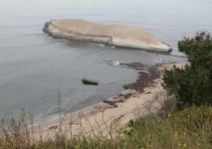
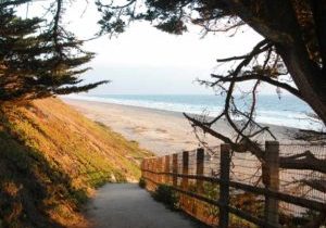
Santa Cruz County begins just south of Año Nuevo Point, where the untrammeled, convoluted shoreline shelters at the base of the rugged and wild Santa Cruz Mountains. On this northern shore, eroded and geologically twisted sandstone cliffs rise above numerous pocket beaches. Wise planning has kept Santa Cruz County's north shore rural in character with agricultural lands predominating adjacent to the coast.
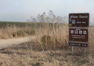
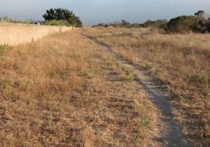
Recently 7000 acres of the north county with 7 miles of coastline was acquired for public access and resource protection. The purchase of the Coast Dairies lands, stretching from Scott Creek to Wilder Ranch, will open another 13 percent of the county's coast to public access and the California Coastal Trail. Until the Coast Dairies acquisition opens to the public, probably by 2004, much of northern Santa Cruz County's CCT remains along the highway shoulder and secondary roads with the recently opened Wilder Ranch State Park a pleasant exception. Even newer is the Coastal Trail link between Wilder Ranch and the city of Santa Cruz.
Santa Cruz has been a tourist attraction for more than 100 years.
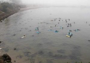
Today it remains a popular year-round destination thanks to its scenic coastline, mild climate, great swimming and surfing beaches, parks, and laid back ambiance. Upon reaching the city limit, the Coastal Trail leaves Highway 1 behind, returning to the coast at Natural Bridges State Beach. From there the CCT follows a popular multiple-use path along the urban waterfront. At Point Santa Cruz in Lighthouse Field State Beach, the shoreline makes an abrupt left turn as the CCT heads due north then east to follow Monterey Bay's sheltered coast. The Coastal Trail follows the bluff, then the beach or the famed amusement park Boardwalk before taking to city streets through east Santa Cruz, circling the small craft harbor and passing lagoons with important bird habitat.
The CCT follows a residential shoreline into Capitola, another long standing seaside resort town before reaching twelve miles of continuous beach at New Brighton State Beach. The Coastal Trail follows this long sandy beach through three more state park units with progressively fewer visitors as it follows the curve of the bayshore all the way to the Pajaro River and the Monterey County line.
The challenges for completing Santa Cruz County's Coastal Trail rest mainly in the north county where several gaps remain. The urban part of the CCT through Santa Cruz and Capitola will remain a mix of blufftop, beach and street because of the densely developed nature of the coastal bluffs.
Explore the Trail
Click a section to discover more detailed information on pieces of the trail that can be explored within a day. Find highlights of what each area has to offer as well as other resources.

