Sonoma County
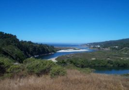
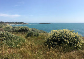
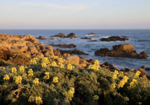
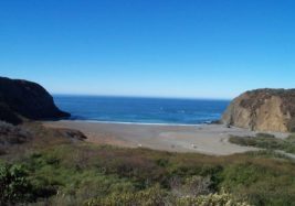
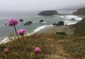
Sonoma County teeters on the brink of the San Francisco Bay Area's urban growth, but the Sonoma coast's light population clusters in small villages and isolated developments, leaving most of the scenic shoreline wild and pastoral, much of it protected in parks, enhancing the CCT experience here.
It could easily have been much different. On the Sonoma coast occurred one of the earliest battles over the public's right to coastal access versus developers' efforts to remold the coast exclusively for private use. This fight began in the 1960s when the developers of Sea Ranch announced plans to keep the public off the northernmost ten miles of the Sonoma coast. See the feature "The Battle for the Sea Ranch Coast". While the public won that struggle, preserving the right of coastal access generally, coastal access remains a mixed bag along the Sonoma shore. About 60 percent of the Coastal Trail in Sonoma County follows trails and beaches, but that leaves 40 percent of CCT here on roads, mostly Highway 1. We can all visit the spectacular coast at Gualala Point Regional Park and the three miles of Sea Ranch coast next to it, but the next seven miles of Sea Ranch are only open to residents and guests. Then for the next six miles, a large private ranch keeps the public from using the scenic coast.
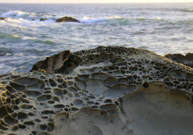
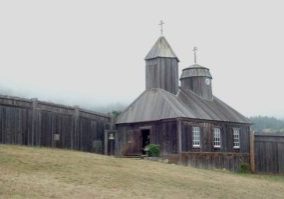
Fortunately Sonoma's fine state parks begin right beyond this look-but-don't-touch splendid shoreline. Salt Point State Park, the Sonoma coast's largest park, protects eight miles of coastline with a spectacular trail right along the bluffs exploring the rocky collision of land and sea. Then private lands hold sway, except for the short, lovely shoreline of Stillwater Cove Regional Park, until Fort Ross State Park protects almost nine miles of gorgeous and wild shore, including Sonoma's rugged Lost Coast where the shoreline remains thoroughly wild and raw.
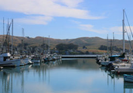
Directly south of the Lost Coast, Sonoma Coast State Beach protects most of the gentle coastline all the way south to dramatic Bodega Head, although several private inholdings and preexisting subdivisions share some of this coast. The town of Bodega Bay provides the Sonoma coast's biggest commercial and residential enclave, plus a busy fishing port. However, the Coastal Trail winds its way through parks along the coastline west of town until the upscale Bodega Harbour subdivision south of town forces the CCT inland along Highway 1. South of the subdivision, once again ranches keep the Coastal Trail off the coast and along the highway shoulder until the south county line.
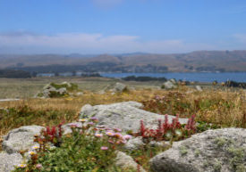
The Sonoma coast offers some of the most pleasing seaside vistas in the state and many opportunities still exist to save more of this gorgeous shoreline for public access. Like so many parts of the California coast however, public acquisitions need to occur soon before population and development pressures subvert the essentially pastoral nature of this coast.
Explore the Trail
Click a section to discover more detailed information on pieces of the trail that can be explored within a day. Find highlights of what each area has to offer as well as other resources.

