Point Details
Nearest Town:
Location: North on Battery Chamberlain Road from Gibson Road
Nearest Milepost
Route: Hwy 1
Mile Number:
Coordinates
37.792975398852, -122.48295094831
Trail Section
San Francisco Section 1
Notes
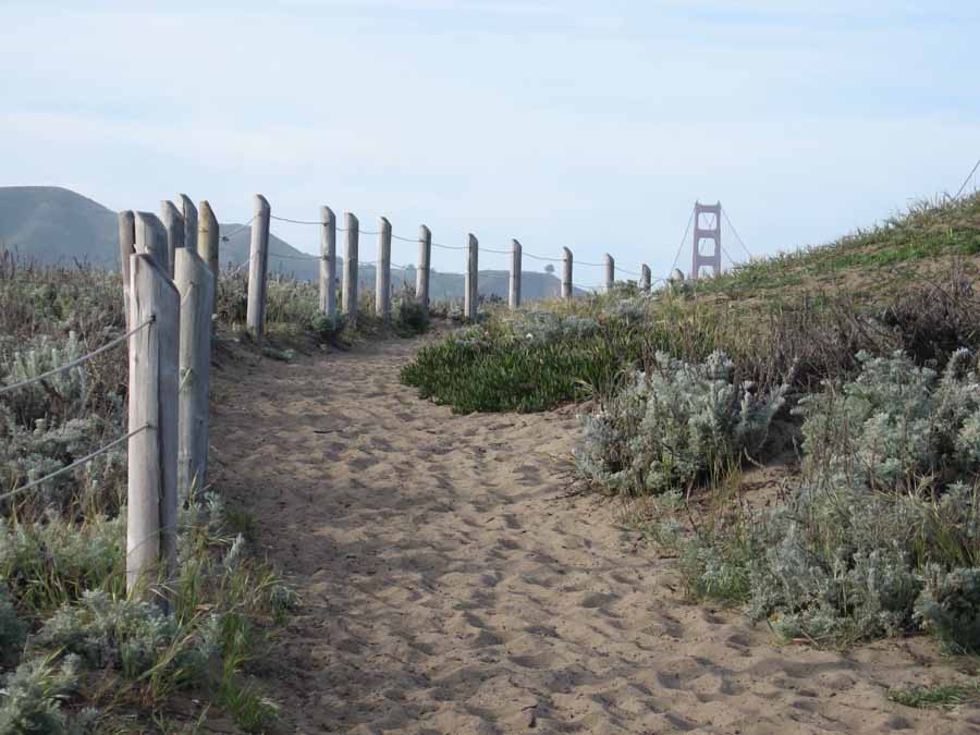
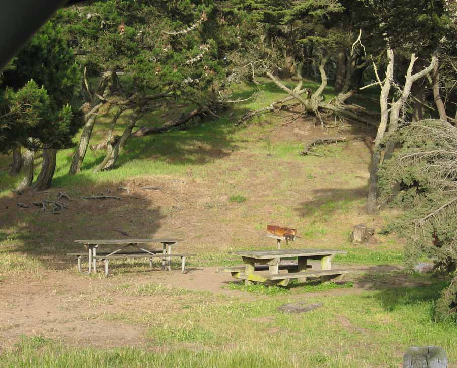
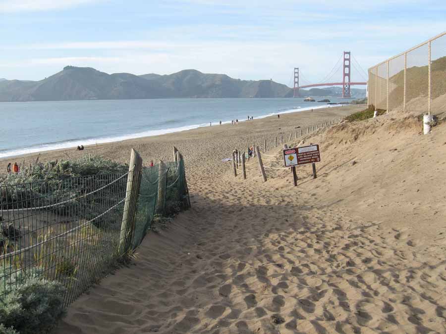
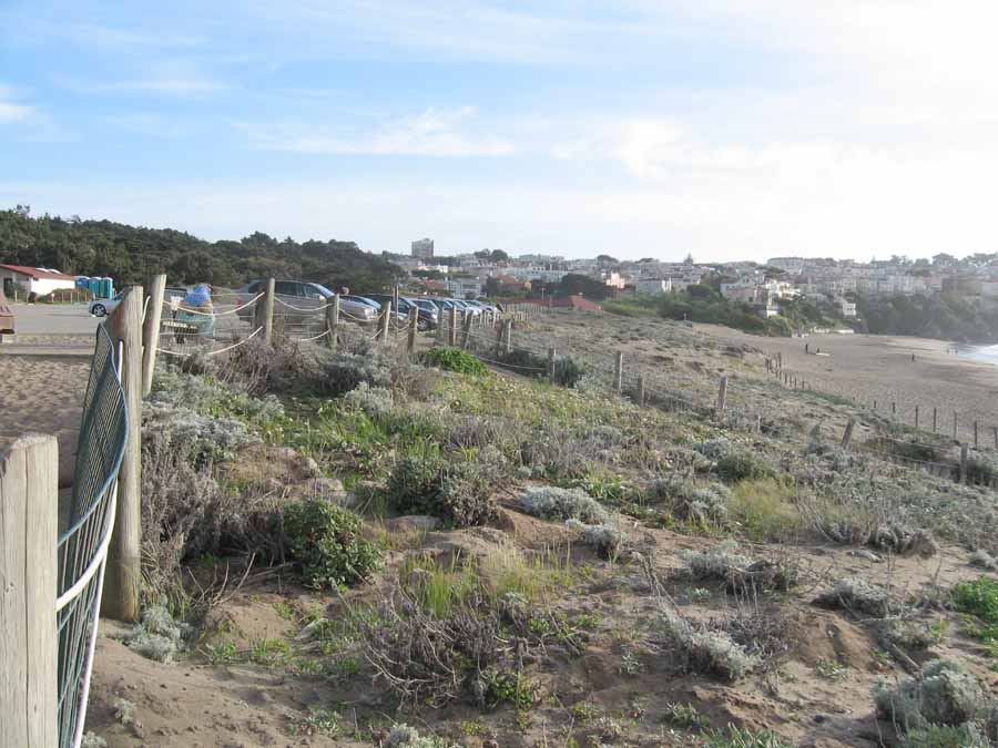
The day use area is north of the entrance. Good parking, picnic tables, trails and beach access provide an enjoyable setting.
Features
- CCC Access Point
- Hiking Trail
- Parking
- Path to Beach
- Restrooms
Aerial Photo from California Coastal Records Project


