Usage Notes

Legend: For details on the icons and trail colors, please click the legend icon on the map above.

Layers: Other layers are available. See the California Coastal Commission and Coastal Conservancy Completed Sections layer for the official completed trail segments. (About progress on the trail completion project.)
Point Details
Nearest Town: Coronado
Location: Off Strand Way (Hwy 75), Coronado
Nearest Milepost
Mile Number:
Coordinates
32.674477358791, -117.1691492832
Trail Section
San Diego Section 10
Notes
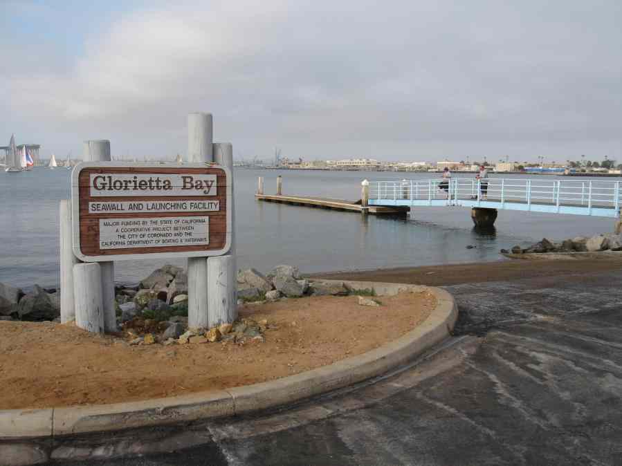
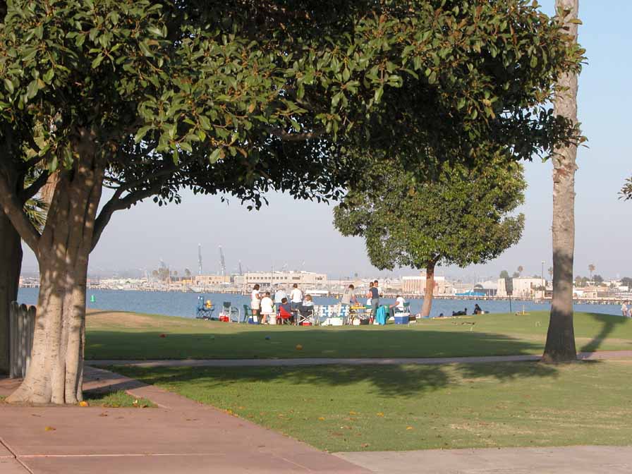
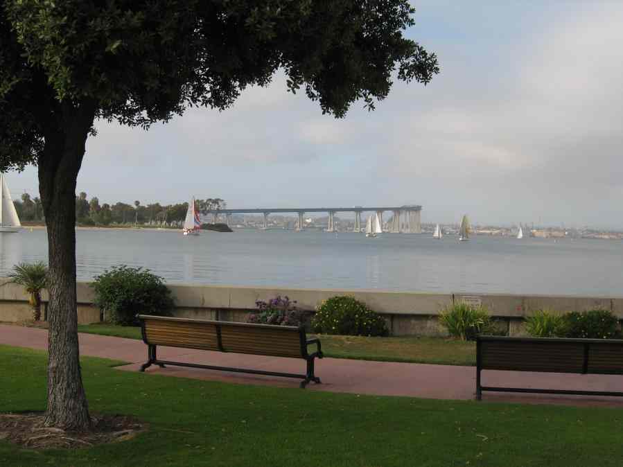
The park sits just south of the marina and provides a good viewpoint and picnic area for views of the bay. Adjacent to Coronado Municipal Swimming Pool.
Features
- Beach Trail
- Boating Facilities
- CCC Access Point
- Facilities for Disabled
- Firepits
- Improved Surface
- Natural Surface Trail
- Parking
- Public Transportation
- Restrooms
- Signage
Aerial Photo from California Coastal Records Project


