Point Details
Nearest Town: Dana Point
Location: 34300 Old Green Lantern St 2 blocks south of PCH
Nearest Milepost
Mile Number:
Coordinates
33.46272942486, -117.69796345484
Trail Section
Orange County Section 6
Notes
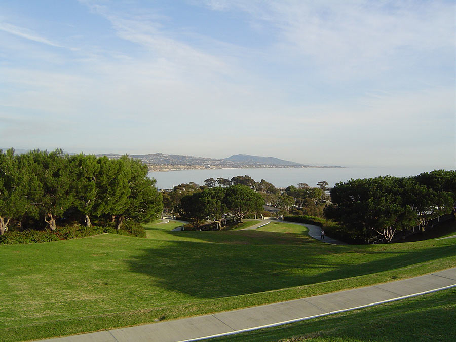
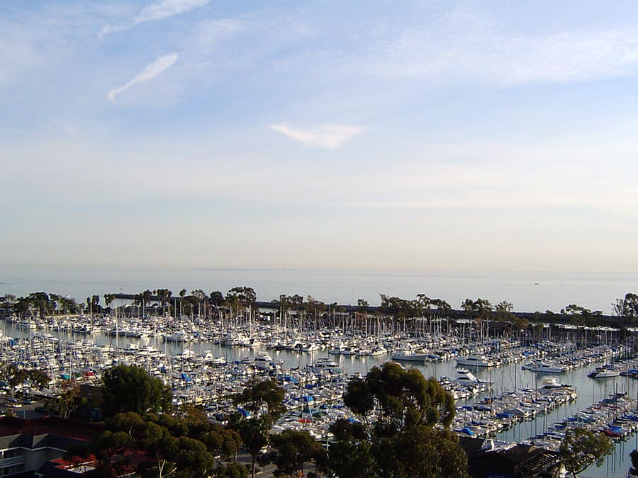
The park provides an overview of Dana Point
Harbor and features a terraced grassy walkway leading to the harbor.
Features
- CCC Access Point
- Improved Surface
- Not on Coastal Trail
- Parking
- Prominent Man Made Feature
- Public Transportation
- Signage
- Stairs to Beach
- Viewpoint
Aerial Photo from California Coastal Records Project


