Point Details
Nearest Town: Huntington Beach
Location: West of Pacific Coast Highway between Golden West and Beach
Nearest Milepost
Mile Number:
Coordinates
33.652413803497, -117.99586858186
Trail Section
Orange County Section 2
Notes
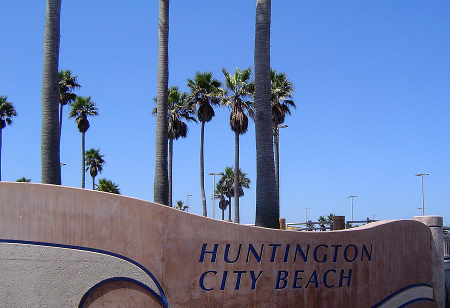
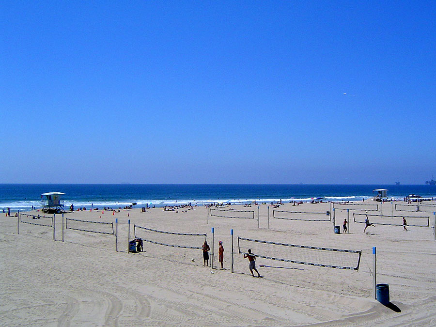
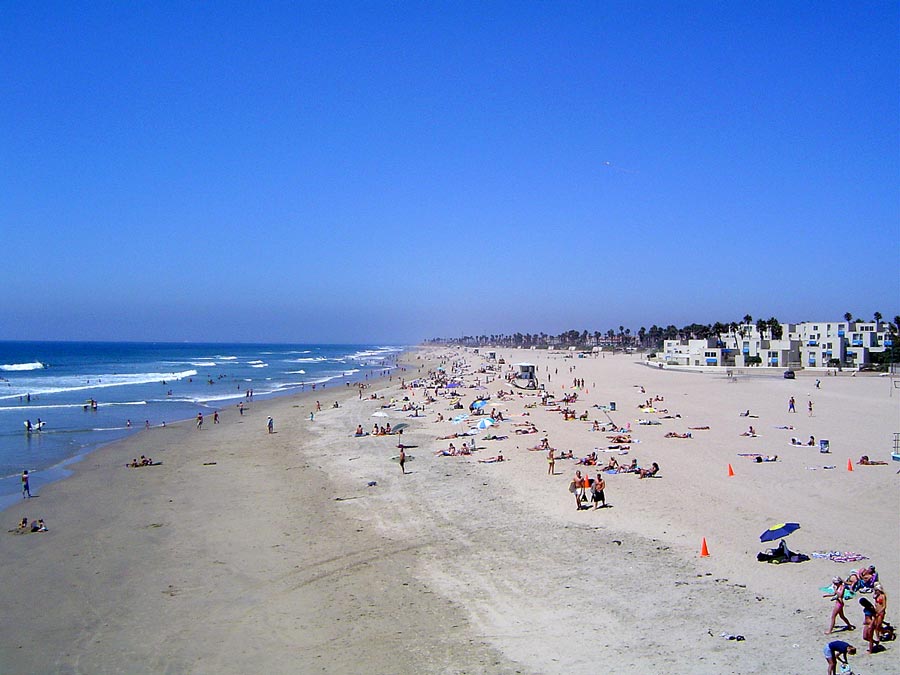
Popular spacious sandy beach. Multi-use path runs length of the beach. Auto entrances at Beach Huntington 6th. Campsites available for en-route self-contained recreational vehicles. Showers are outdoors. Volleyball courts.
Features
- Bike Path
- CCC Access Point
- Campground
- Drinking Water
- Entrance or Parking Fee
- Facilities for Disabled
- Firepits
- Food Concessions
- Hiking Trail
- Improved Surface
- Lifeguard
- Parking
- Path to Beach
- Public Transportation
- Restrooms
- Showers
- Signage
- Surfing
- Telephone
Aerial Photo from California Coastal Records Project


