Usage Notes

Legend: For details on the icons and trail colors, please click the legend icon on the map above.

Layers: Other layers are available. See the California Coastal Commission and Coastal Conservancy Completed Sections layer for the official completed trail segments. (About progress on the trail completion project.)
Point Details
Nearest Town: West Malibu
Location: 36000 Pacific Coast Highway
Nearest Milepost
Route: PCH
Mile Number: 62.5
Coordinates
34.046426231837, -118.93386744653
Trail Section
Los Angeles Section 4
Notes
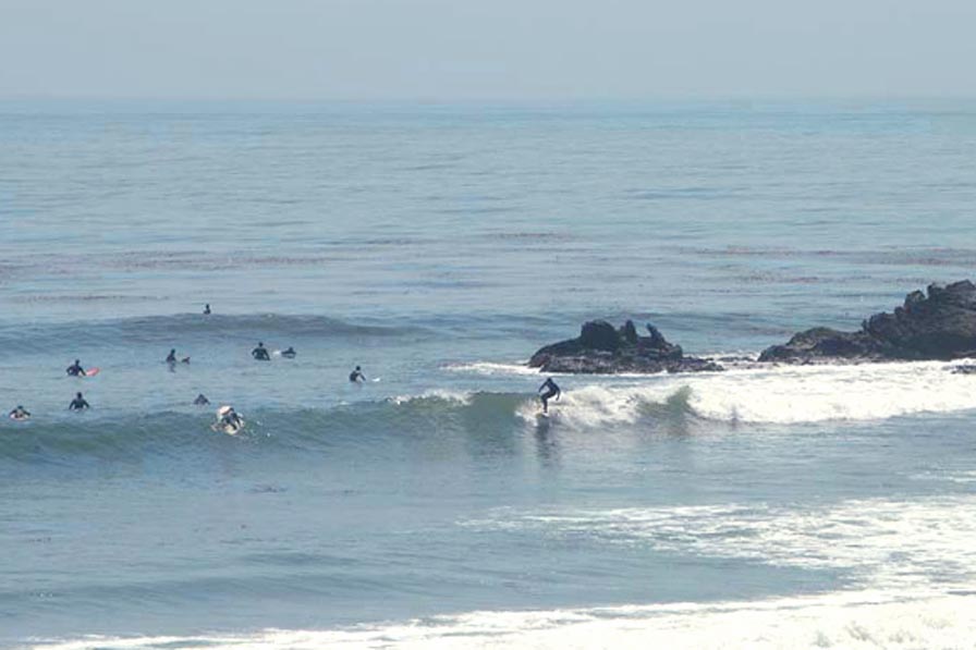
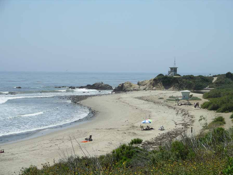
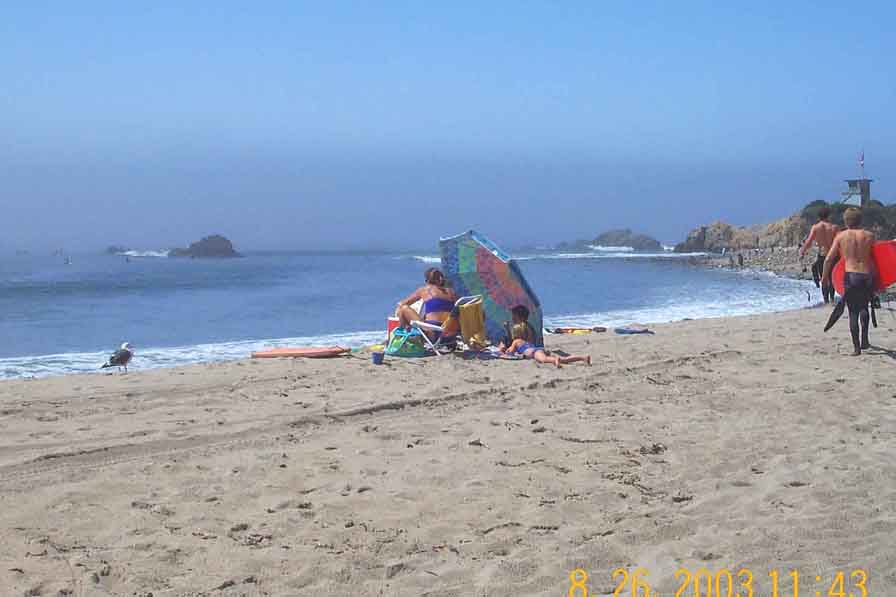
In spite of a somewhat rocky bottom, 'Leo' is popular with swimmers, surfers and windsailers. Notable also are the underwater preserve and tide pools (no-collecting allowed). There are more than 100 campsites in the main campground, a seasonal beach campground, and a day-use parking lot. Some early birds park on the highway.
Features
- Beach Trail
- CCC Access Point
- Campground
- Drinking Water
- Entrance or Parking Fee
- Fishing
- Hiking Trail
- Lifeguard
- Parking
- Path to Beach
- Restrooms
- Showers
- Surfing
- Telephone
- Viewpoint
Aerial Photo from California Coastal Records Project


