Point Details
Nearest Town: Dana Point
Location: Dana Bluffs West and Via Verde
Nearest Milepost
Mile Number:
Coordinates
33.461743038787, -117.67741295374
Trail Section
Orange County Section 6
Notes
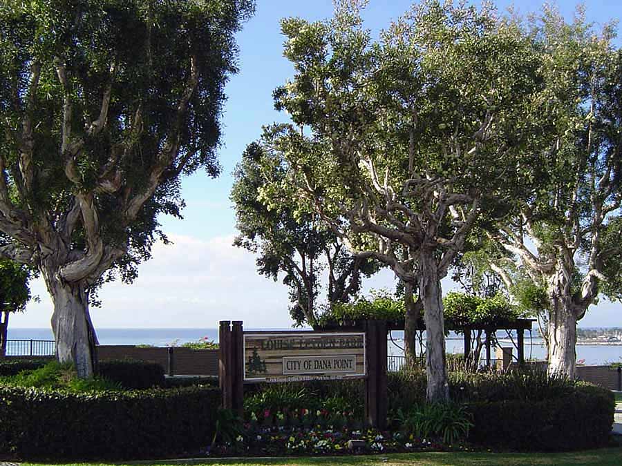
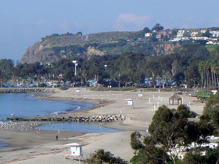
A small park with an overview on the
bluffs above Doheny State Beach.
Features
- CCC Access Point
- Drinking Water
- Improved Surface
- Not on Coastal Trail
- Parking
- Signage
- Viewpoint
Aerial Photo from California Coastal Records Project


