Usage Notes

Legend: For details on the icons and trail colors, please click the legend icon on the map above.

Layers: Other layers are available. See the California Coastal Commission and Coastal Conservancy Completed Sections layer for the official completed trail segments. (About progress on the trail completion project.)
Point Details
Nearest Town: National City
Location: end of Tidelands Ave. at 32nd St. National City
Nearest Milepost
Mile Number:
Coordinates
32.650041364722, -117.11102237136
Trail Section
San Diego Section 11
Notes
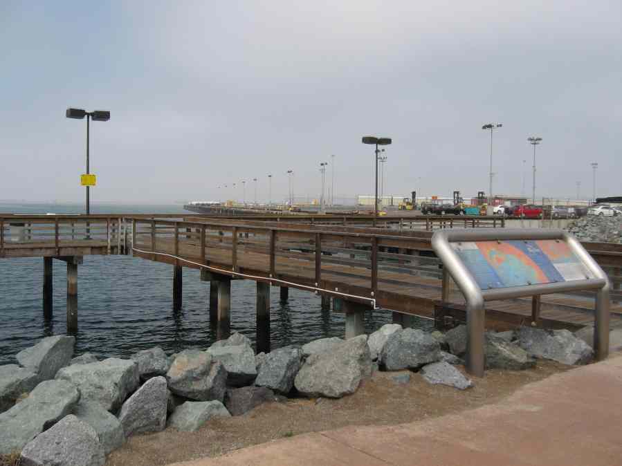
The park is popular with boaters and fishers as well as the local residents. A fishing bridge extends into a sheltered inlet, with grills and tables on the grassy lawn.
Features
- Boating Facilities
- CCC Access Point
- Facilities for Disabled
- Firepits
- Fishing
- Not on Coastal Trail
- Parking
- Restrooms
- Signage
- Walkable Pier or Jetty
Aerial Photo from California Coastal Records Project


