Usage Notes

Legend: For details on the icons and trail colors, please click the legend icon on the map above.

Layers: Other layers are available. See the California Coastal Commission and Coastal Conservancy Completed Sections layer for the official completed trail segments. (About progress on the trail completion project.)
Point Details
Nearest Town: San Diego, Point Loma
Location: End of Shelter Island Drive
Nearest Milepost
Mile Number:
Coordinates
32.708029644061, -117.23423427213
Trail Section
San Diego Section 10
Notes
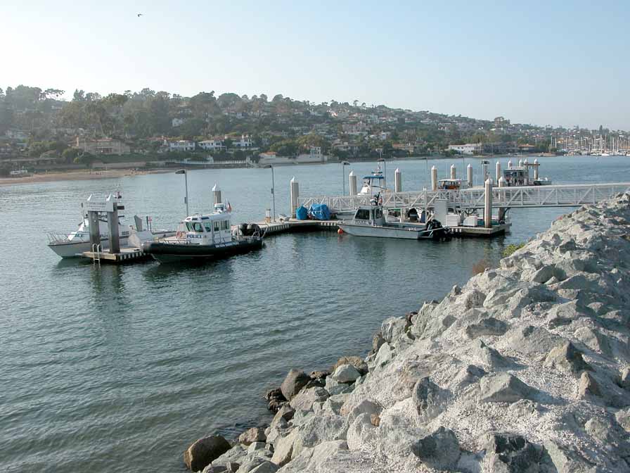
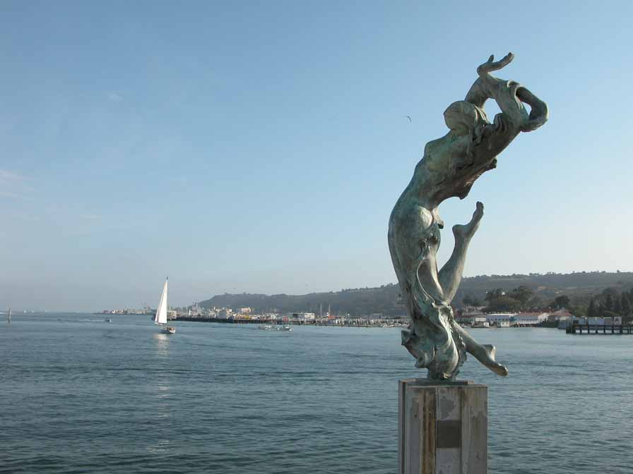
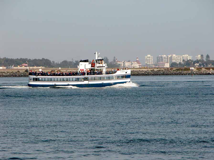
Visitors can drive or walk to the south end of Shelter Island and get a good view of the boats coming in the channels to Shelter Island Yacht Harbor and the greater San Diego Bay.
Features
- Bike Path
- CCC Access Point
- Improved Surface
- Not on Coastal Trail
- Parking
- Restrooms
Aerial Photo from California Coastal Records Project


