Point Details
Nearest Town: Southern Santa Cruz, near Pajaro River
Location: Sunset Beach Rd off San Andreas Rd.
Nearest Milepost
Mile Number:
Coordinates
36.882961435572, -121.827973275
Trail Section
Santa Cruz Section 7
Notes
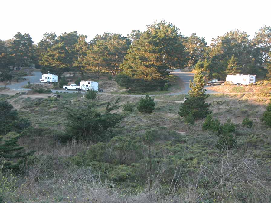
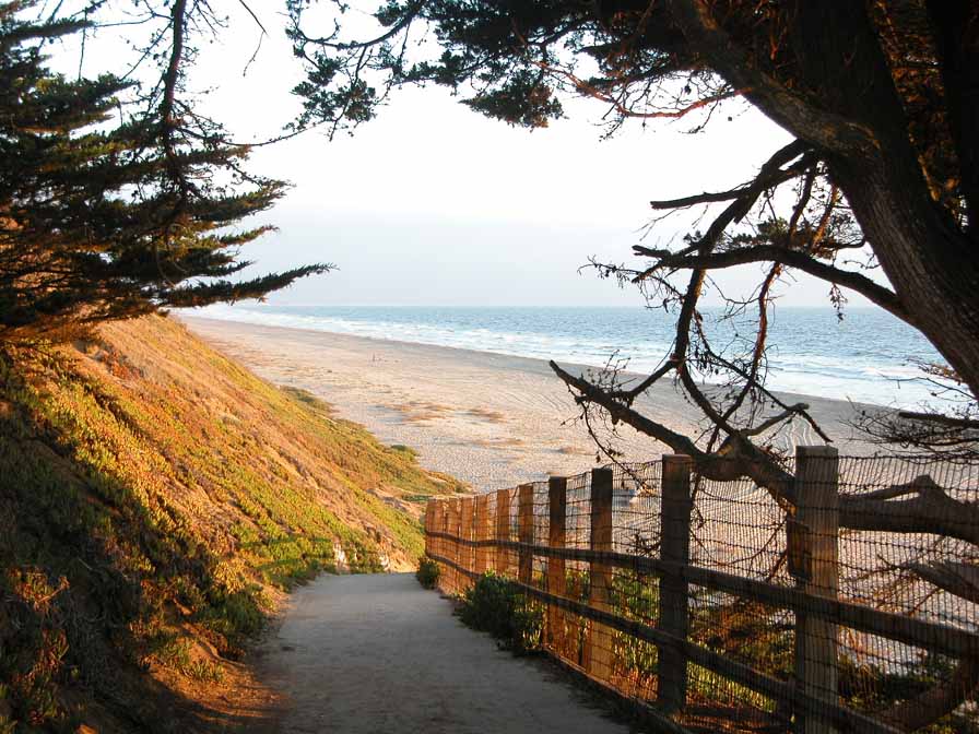
Sunset State Beach has a lovely campground on the bluffs, a driving access down to picnic tables and parking, and a northern access ramp with parking. It's a lovely spot to camp and spend a few days exploring the beach and nearby parks. Dune restoration has closed some trails, while others remain open.
Features
- Beach Trail
- CCC Access Point
- Campground
- Entrance or Parking Fee
- Firepits
- Fishing
- Natural Surface Trail
- Parking
- Path to Beach
- Restrooms
- Showers
- Signage
- Stairs to Beach
Aerial Photo from California Coastal Records Project


