Point Details
Nearest Town: Imperial Beach
Location: Enod of Saturn Blvd., north from Palm Ave., Imperial Beach
Nearest Milepost
Mile Number:
Coordinates
32.587558757937, -117.0925964822
Trail Section
San Diego Section 12
Notes
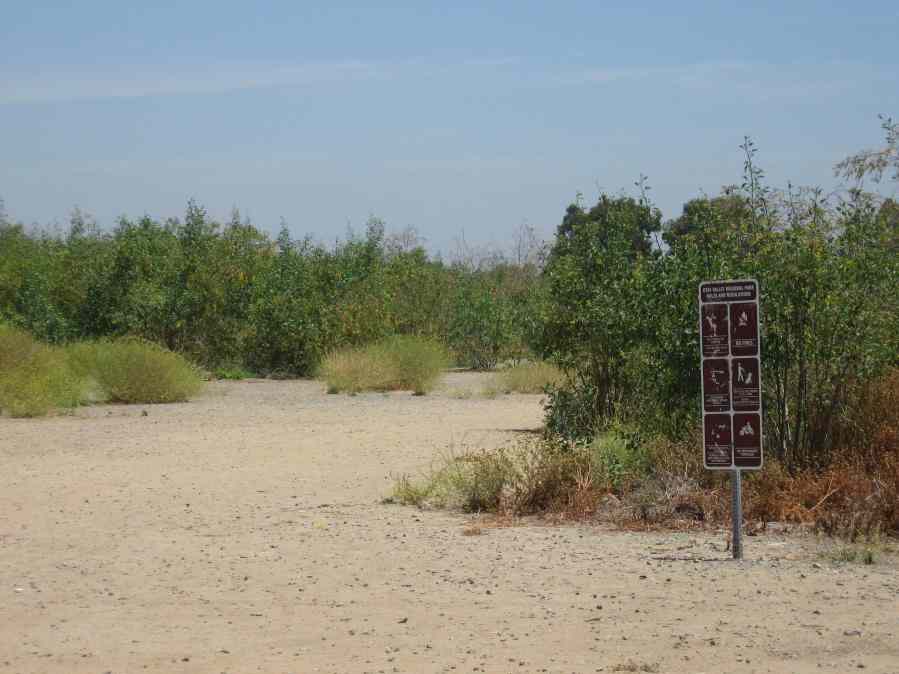
This river park could be a wonderful asset, but is now left in disrepair. Trail plans are proceeding, but the grounds are open to off-road vehicle use.
Features
- Bike Path
- CCC Access Point
- Improved Surface
- Not on Coastal Trail
Aerial Photo from California Coastal Records Project


