Point Details
Nearest Town: Andrew Molera State Park
Location: Junction of Old Coast Rd. and Hwy 1
Nearest Milepost
Route: Hwy 1
Mile Number: 51.2
Coordinates
36.287449502696, -121.84400277727
Trail Section
Monterey Section 10
Notes
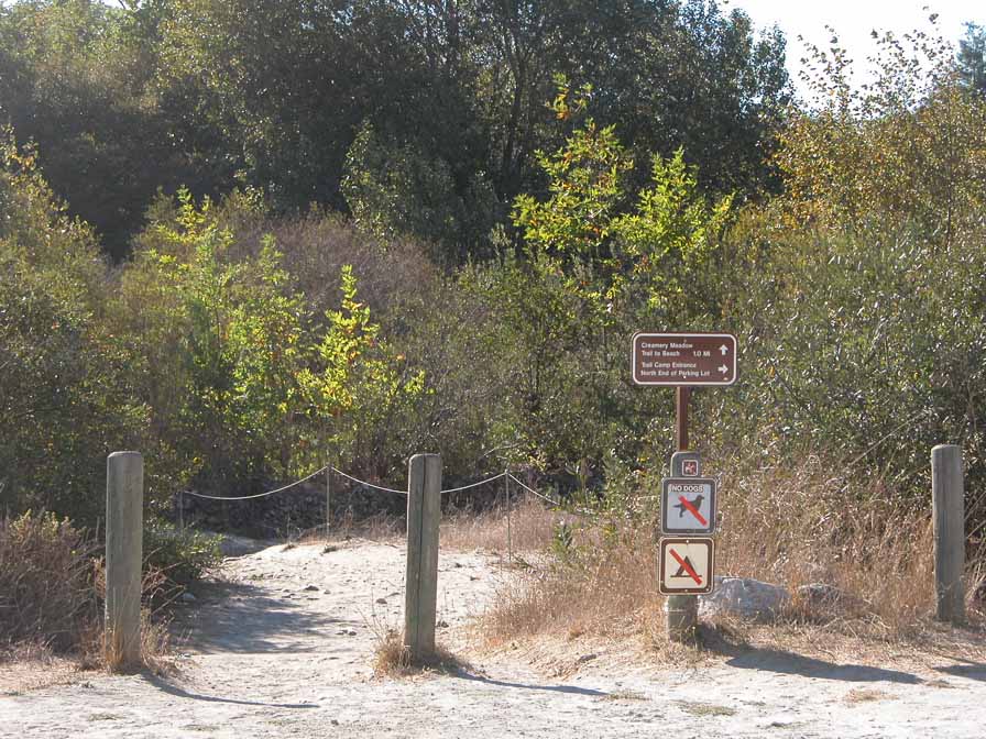
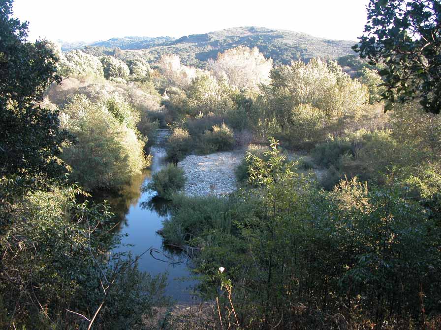
The entrance to Andrew Molera State Park lies across the highway from the south end of the Old Coast Road. Enter the park and choose between the Camp Trail on the north bank of the Big Sur River or the Creamery Trail on the south bank, which leads into the Bluffs Trail to continue south. See next point for shoreline info & photos.
Features
- CCC Access Point
- Campground
- Firepits
- Fishing
- Hiking Trail
- Historic Feature
- Natural Surface Trail
- Parking
- Path to Beach
- Prominent Natural Feature
- Restrooms
- Signage
- Stairs to Beach
- Trail Junction
Aerial Photo from California Coastal Records Project


