Usage Notes

Legend: For details on the icons and trail colors, please click the legend icon on the map above.

Layers: Other layers are available. See the California Coastal Commission and Coastal Conservancy Completed Sections layer for the official completed trail segments. (About progress on the trail completion project.)
Point Details
Nearest Town: Newport Beach
Location: West of Pacific Coast Highway Pelican Point and El Moro Beach
Nearest Milepost
Mile Number:
Coordinates
33.582763420969, -117.84897108145
Trail Section
Orange County Section 3
Notes
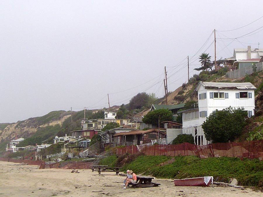
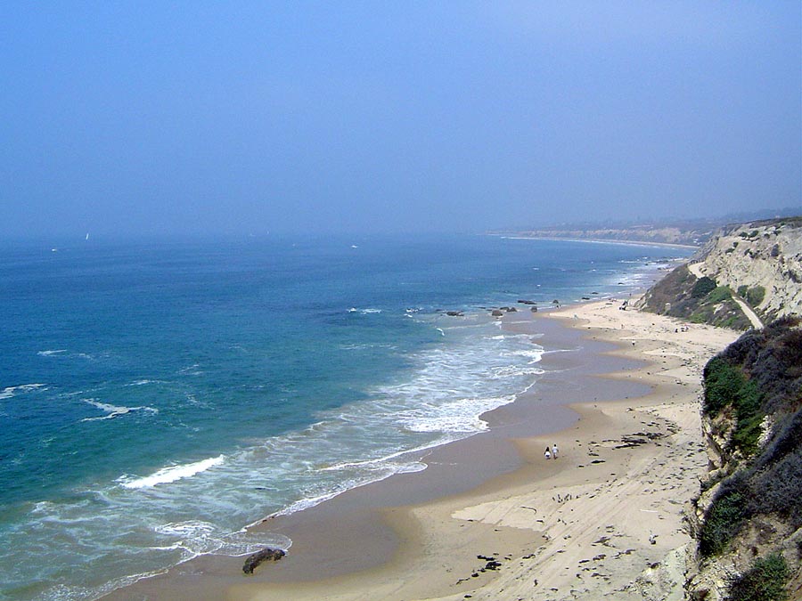
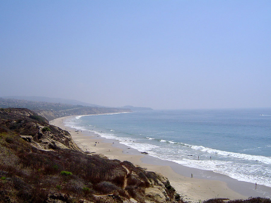
3.5 mile long beach popular for swimming and surfing. Has tidepools and sandy coves. Offshore waters designated as an underwater park. Historic area with 1930s cottages and hostels are being restored for public use with scheduled opening in 2006. Picnic areas. Auto entries at Newport Coast Dr - Los Trancos - Reef Point.
Features
- Beach Trail
- Bike Path
- CCC Access Point
- Drinking Water
- Entrance or Parking Fee
- Facilities for Disabled
- Fishing
- Food Concessions
- Hiking Trail
- Hostel
- Lifeguard
- Parking
- Path to Beach
- Public Transportation
- Restrooms
- Signage
- Surfing
- Telephone
Aerial Photo from California Coastal Records Project


