Point Details
Nearest Town:
Location: Junction Perez Cove Rd. & Dana Landing Rd.,west of Ingraham St.
Nearest Milepost
Mile Number:
Coordinates
32.766781629079, -117.23453748473
Trail Section
San Diego Section 8
Notes
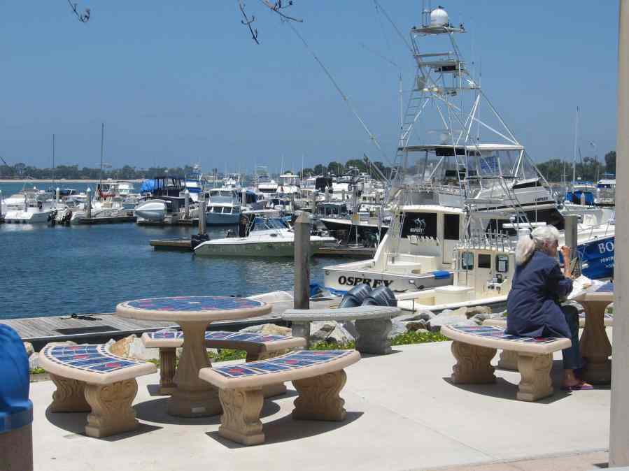
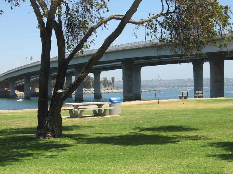
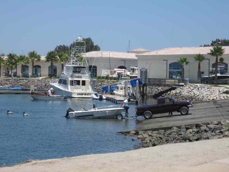
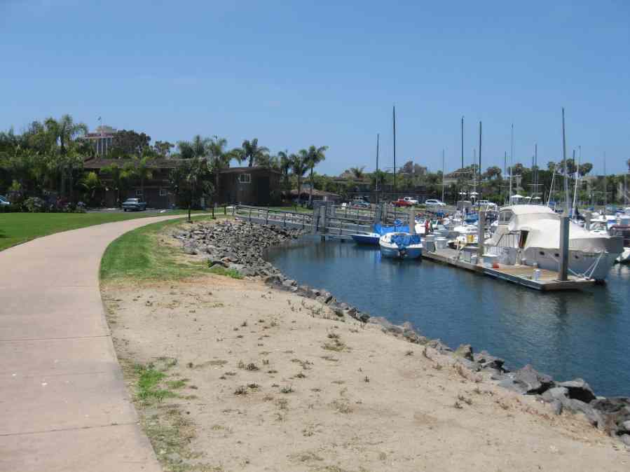
Dana Landing includes the Dana Inn Hotel and Marin, the Dana Landing Market and Fuel Dock, and the 5-lane Dana Basin Boat Launching Facility. Sunset Point is a public park and fishing spot to the north.
Features
- Beach Trail
- Boating Facilities
- CCC Access Point
- Fishing
- Natural Surface Trail
- Not on Coastal Trail
- Parking
- Restrooms
Aerial Photo from California Coastal Records Project


