Point Details
Nearest Town: Dana Point
Location: Island Drive off of Dana Point Harbor Drive
Nearest Milepost
Mile Number:
Coordinates
33.459980151731, -117.69926498785
Trail Section
Orange County Section 7
Notes
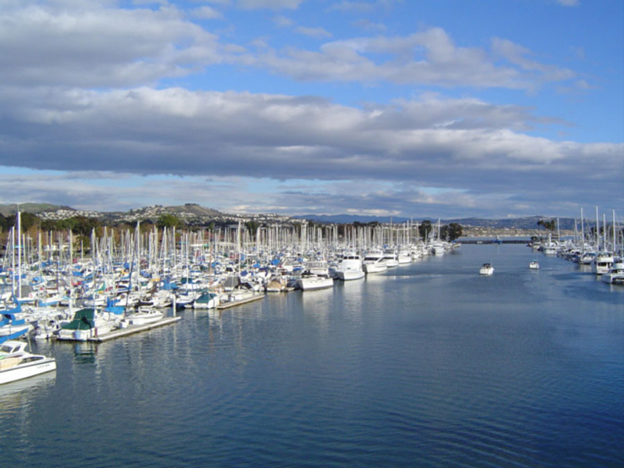
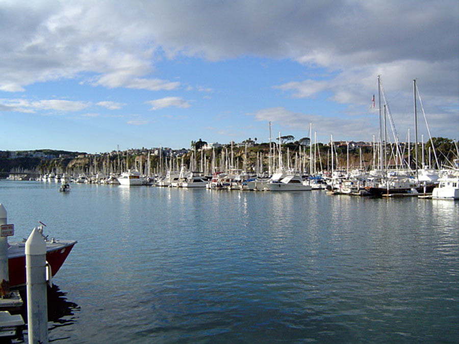
The harbor features extensive boating facilities and services. There are grassy areas with picnic tables
and walkways throughout the harbor area. A small stillwater baby beach is located at the north end. Restaurants and shops line the promenade along the marina.
Features
- Boating Facilities
- CCC Access Point
- Drinking Water
- Facilities for Disabled
- Fishing
- Food Concessions
- Hiking Trail
- Historic Feature
- Historic Marker
- Improved Surface
- Parking
- Prominent Man Made Feature
- Prominent Natural Feature
- Public Transportation
- Restrooms
- Signage
- Telephone
- Walkable Pier or Jetty
Aerial Photo from California Coastal Records Project


Hello,
I am in the middle of reading “Two Years before the Mast” and I was inspired to write two songs about the hides being dropped from the cliff near the ocean at Dana Point. One is a folk song and one is a folk/pop song. I thought you would like them and use them any way you wish. I am not asking for any money, its a pure donation. Just search YouTube for “here come the hides” and the two song shorts should come up. Otherwise I am spellbinder77.
I can send the downloads if needed. Thanks, Ron Dixon