Usage Notes

Legend: For details on the icons and trail colors, please click the legend icon on the map above.

Layers: Other layers are available. See the California Coastal Commission and Coastal Conservancy Completed Sections layer for the official completed trail segments. (About progress on the trail completion project.)
Point Details
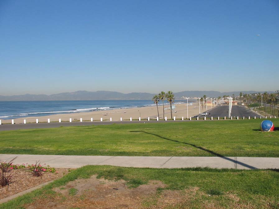
Nearest Town: Vista del Mar
Location: Imperial Highway and Vista del Mar
Nearest Milepost
Mile Number:
Coordinates
33.930284347899, -118.43589177279 ![]()
Trail Section
Los Angeles Section 6
Notes
Dockweiler has a gliding center (birthplace of modern USHG); Scattergood Power Generating Station; parking fee north; restrooms N&S; lifeguard N&S; firepits (beach); hiking trail access; RV campground S; LAX; Hyperion
N and S refer to North and South parts of the park.
Features
- Beach Trail
- Bike Path
- CCC Access Point
- Campground
- Drinking Water
- Firepits
- Fishing
- Food Concessions
- Hiking Trail
- Lifeguard
- Parking
- Path to Beach
- Prominent Man Made Feature
- Public Transportation
- Restrooms
- Showers
- Stairs to Beach
- Surfing
- Telephone
Aerial Photos from California Coastal Records Project