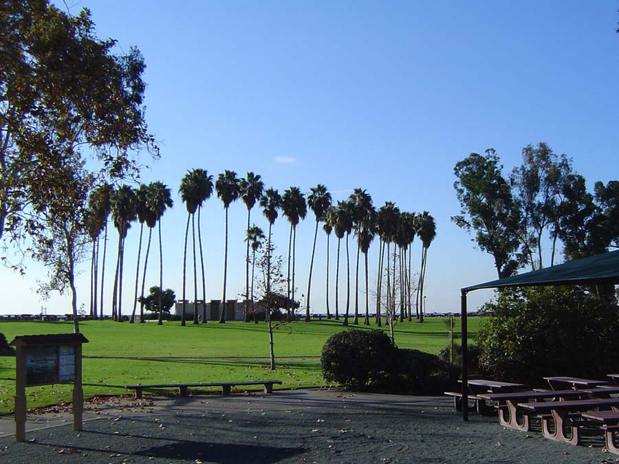
Point Details
Nearest Town: Dana Point
Location: Dana Point Harbor Drive and Doheny State Beach Entrance
Nearest Milepost
Mile Number:
Coordinates
33.463592246557, -117.68883415927
Trail Section
Orange County Section 6
Notes
Both campground and day-use areas are
provided. A large grassy area with picnic tables is on the beachfront. The San Juan Creek Bikeway runs inland past San Juan Capistrano along the west side of the creek.
Features
- Bike Path
- Campground
- CCC Access Point
- Drinking Water
- Entrance or Parking Fee
- Facilities for Disabled
- Firepits
- Food Concessions
- Hiking Trail
- Improved Surface
- Lifeguard
- Parking
- Path to Beach
- Public Transportation
- Restrooms
- Showers
- Signage
- Surfing
- Telephone
Aerial Photo from California Coastal Records Project


