Point Details
Nearest Town: Fort Ord Dunes State Park
Location: Eighth St entrance, Fort Ord
Nearest Milepost
Route: Hwy 1
Mile Number:
Coordinates
36.658304149636, -121.82050187074
Trail Section
Monterey Section 3
Notes
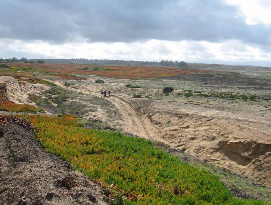
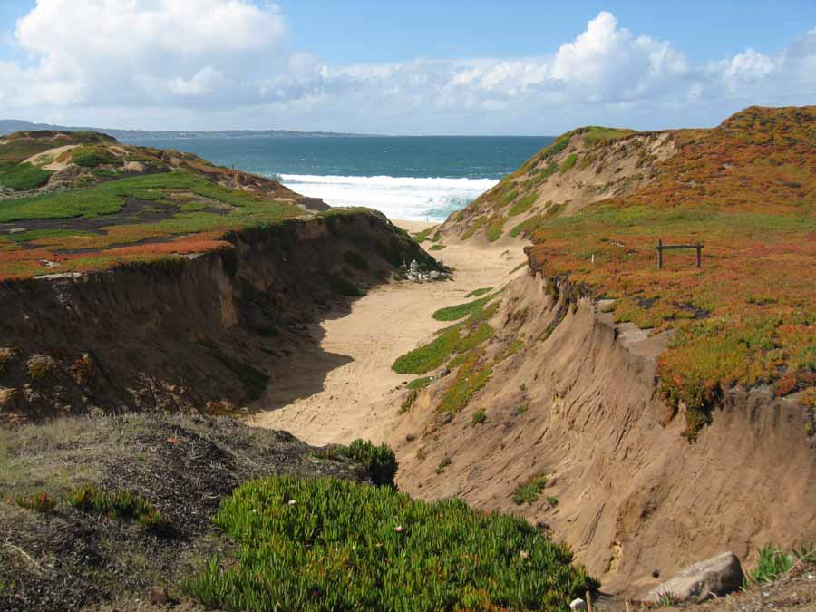
South of Stillwell Hall site, a dirt road turns west through a deep gully toward the ocean. The dunes to the south are perched on the edge, creating a pond habitat in the lee of the dunes.
Features
- Natural Surface Trail
- Path to Beach
Aerial Photo from California Coastal Records Project


