Point Details
Nearest Town: West Malibu
Location: 32900 Pacific Coast Highway
Nearest Milepost
Route: PCH
Mile Number: 59.9
Coordinates
34.040337549757, -118.89229879974
Trail Section
Los Angeles Section 4
Notes
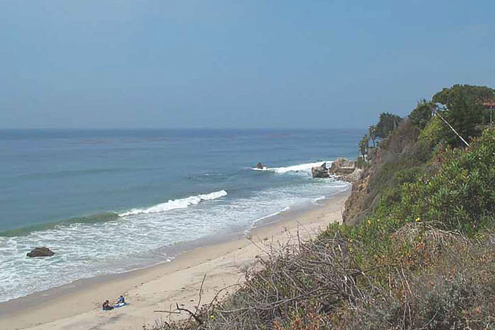
This pocket beach is the western-most of three Robert H. Meyer Memorial Beaches. La Piedra State Beach and El Matador State Beach are each roughly a half-mile apart.
Features
- Beach Trail
- CCC Access Point
- Entrance or Parking Fee
- Fishing
- Parking
- Path to Beach
- Restrooms
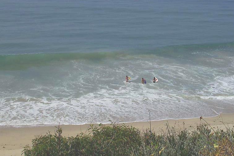
- Surfing
- Telephone
- Tidal Closure
Aerial Photo from California Coastal Records Project


