Point Details
Nearest Town: Old Coast Road
Location: Old Coast Road at west ridge off El Sur hill
Nearest Milepost
Route: Hwy 1
Mile Number:
Coordinates
36.300808578825, -121.85135663496
Trail Section
Monterey Section 9
Notes
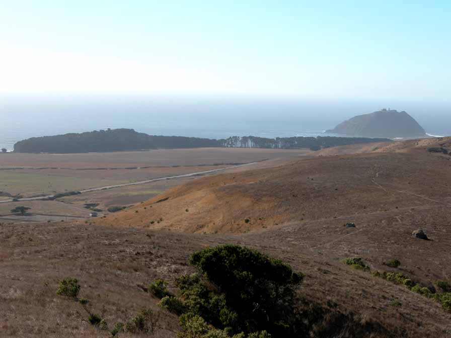
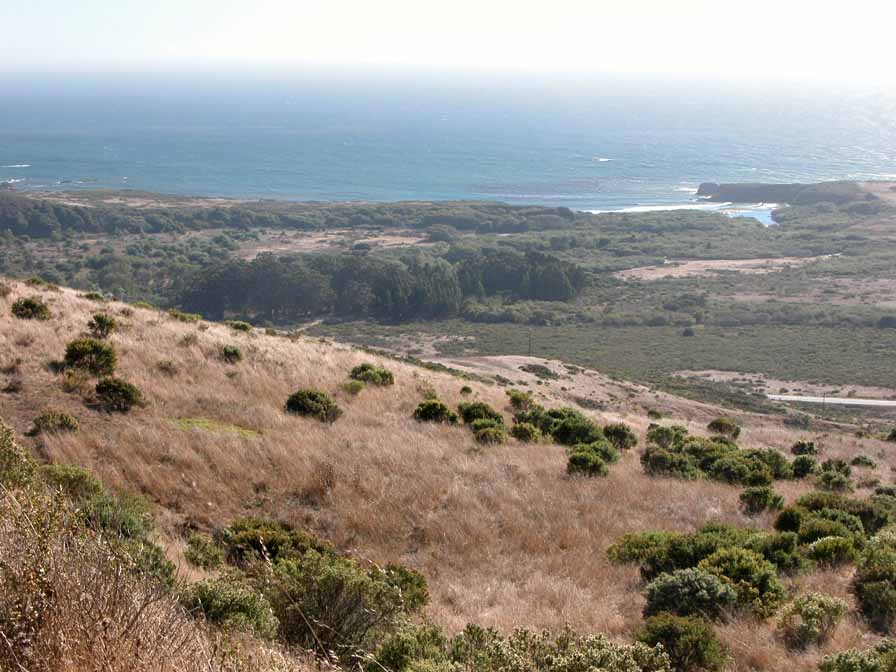
Rounding the bend at the ridge of El Sur hill, the view widens to show Point Sur on the north and Molera Point and Pfeiffer Ridge to the south. The trail/road follows the contours around to rejoin the highway at the entrance to Molera State Park.
Features
- Improved Surface
- Viewpoint
Aerial Photo from California Coastal Records Project


