Point Details
Nearest Town: Orick
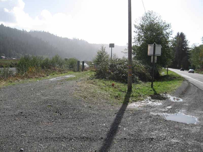
Location: north edge of Orick, off Hwy 101
Nearest Milepost
Mile Number:
Coordinates
41.298489828606, -124.05201058639
Trail Section
Humboldt Section 2
Notes
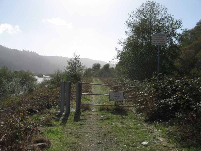
Hikers can get up onto the levee here and follow the trail southwest all the way to the ocean. But don't forget to cross the river at the highway bridge, or you'll end up on the wrong side of the creek at the mouth.
Features
- Coastal Trail
- Hiking Trail
Aerial Photo from California Coastal Records Project


