Point Details
Nearest Town: San Francisco
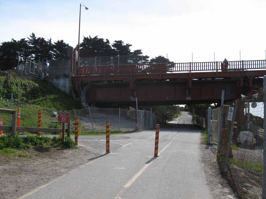
Location: Under Highway 1 at Golden Gate Bridge
Nearest Milepost
Mile Number:
Coordinates
37.80755926814, -122.47693064973
Trail Section
San Francisco Section 1
Notes
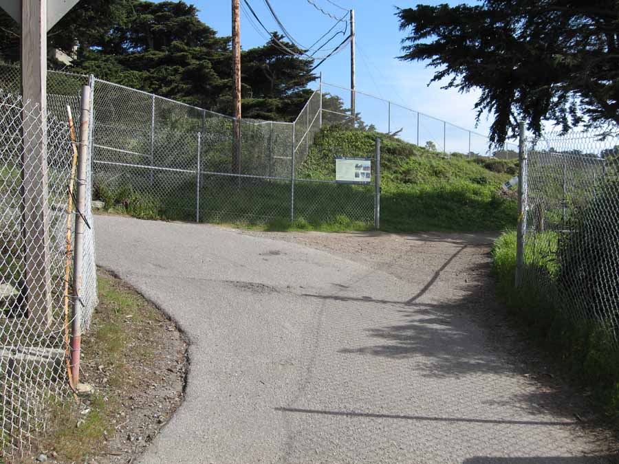
Hikers and bikes may use this underpass to cross Highway 1 at the Golden Gate bridge. It is located between the toll plaza and the bridge. Entry is from the visitor center on the east side or behind the toll plaza buildings on the west side.
Features
- Bike Path
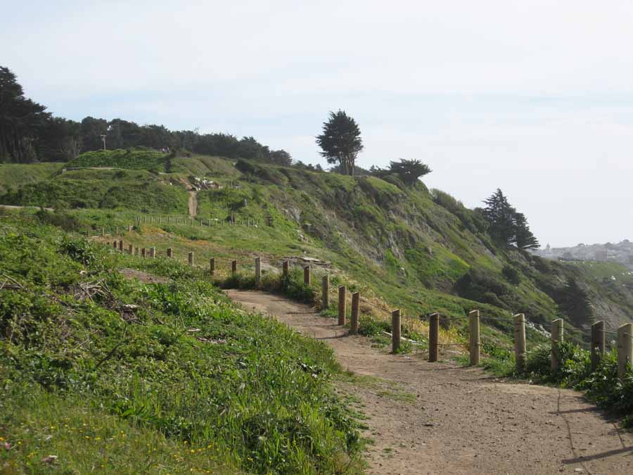
- Hiking Trail
- Improved Surface
- Parking
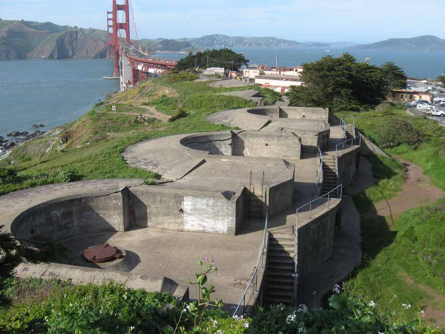
- Prominent Man Made Feature
- Restrooms
- Stairs to Beach
- Viewpoint
Aerial Photo from California Coastal Records Project


