Point Details
Nearest Town: San Diego
Location: Harbor Island Drive, east end
Nearest Milepost
Mile Number:
Coordinates
32.724669528422, -117.1881543775
Trail Section
San Diego Section 9
Notes
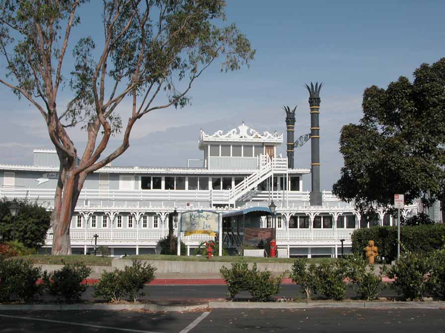
The eastern end of the island is mostly covered with parking lots and restaurants, with the bike path connecting to the more open middle and west end.
Features
- Bike Path
- CCC Access Point
- End of Trail
- Food Concessions
Aerial Photo from California Coastal Records Project


