Point Details
Nearest Town: Huntington Beach
Location: Pacific Coast Highway between Beach Blvd and Santa Ana River
Nearest Milepost
Mile Number:
Coordinates
33.639602646973, -117.97374596652
Trail Section
Orange County Section 2
Notes
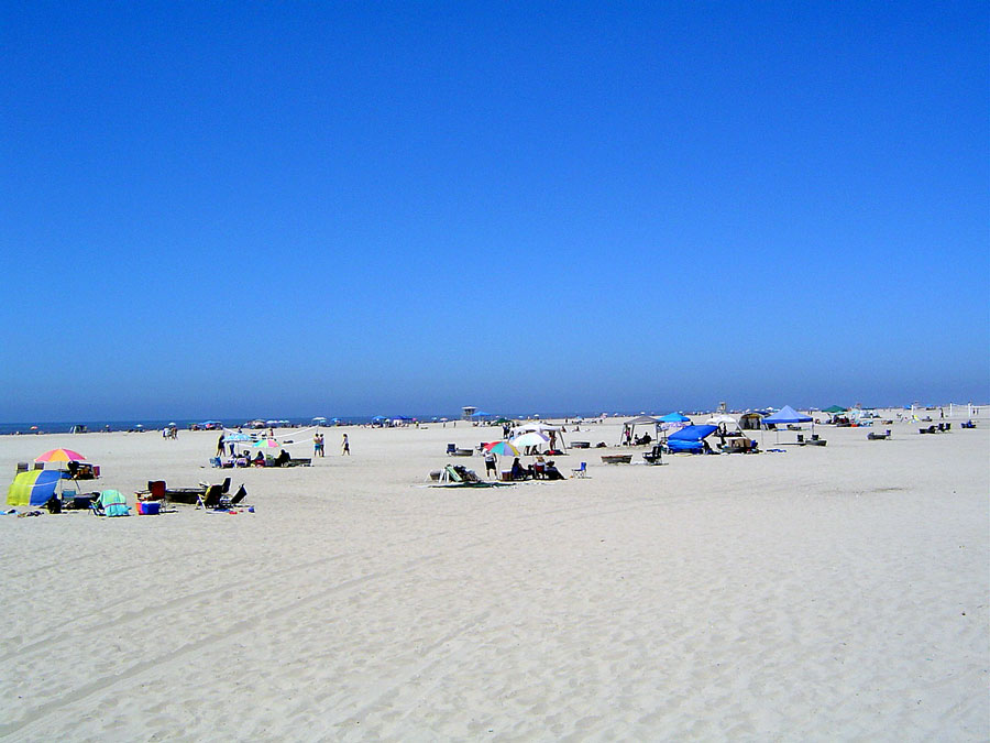
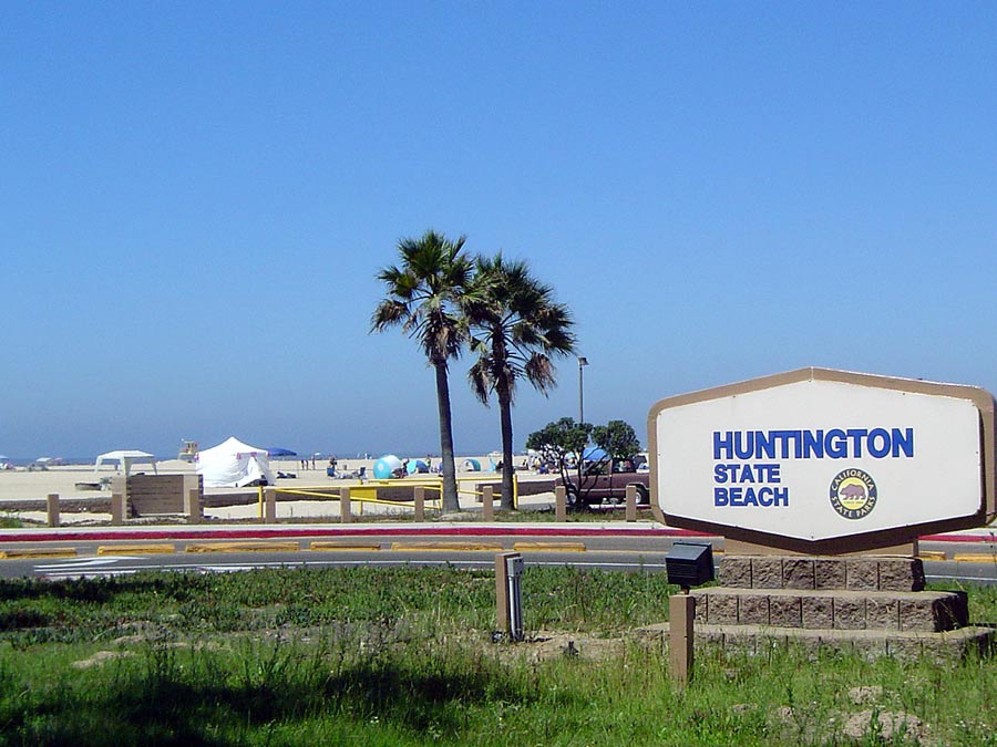
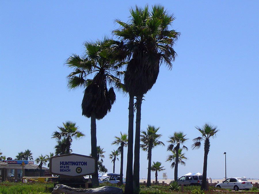
A two-mile-long sandy beach with full facilities. Multi-use path runs full length of beach. Auto entrance at Magnolia Brookhurst Newland and Beach. Rangers and lifeguards are on duty all year. Showers are outside.
Features
- Bike Path
- CCC Access Point
- Drinking Water
- Entrance or Parking Fee
- Facilities for Disabled
- Firepits
- Food Concessions
- Hiking Trail
- Improved Surface
- Lifeguard
- Parking
- Path to Beach
- Public Transportation
- Restrooms
- Showers
- Signage
- Surfing
- Telephone
Aerial Photo from California Coastal Records Project


