Point Details
Nearest Town: Big Sur valley
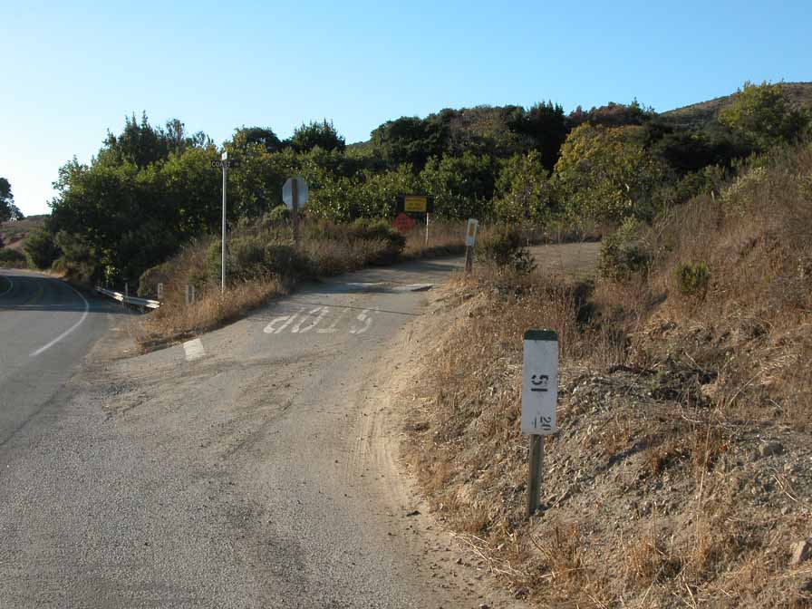
Location: junction south end of Old Coast Road and Hwy 1
Nearest Milepost
Route: Hwy 1
Mile Number:
Coordinates
36.288181663902, -121.84420354835
Trail Section
Monterey Section 10
Notes
The dirt Old Coast Road takes off to the east at the entrance to Andrew Molera State Park. Following this old road for the CCT takes hikers into the foothills to eliminate a long stretch of highway walking. Ten 1/2 miles takes a hiker throug hsome beautiful ranchlands with groves of redwoods, bays, oaks, and big leaf maple.
Features
- Improved Surface
Aerial Photo from California Coastal Records Project

