Point Details
Nearest Town: Southern Santa Cruz, near La Selva
Location: entrance off Sand Dollar Dr. off San Andreas Rd.
Nearest Milepost
Mile Number:
Coordinates
36.923235687851, -121.85186571344
Trail Section
Santa Cruz Section 6
Notes
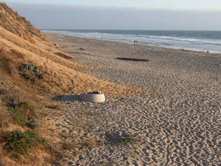
Manresa State Beach offers a Day Use parking lot with stairways to the beach, and a group camping area. Only tents are allowed in the group camp sith parking upland. Trails are clear but ungroomed, giving a rustic camping experience without cars visible. Day Use lot has restrooms too. Hazardous surf conditions at times.
Features
- Beach Trail
- Campground
- CCC Access Point
- Entrance or Parking Fee
- Fishing
- Hiking Trail
- Natural Surface Trail
- Parking
- Path to Beach
- Restrooms
- Showers
- Signage
- Stairs to Beach
Aerial Photo from California Coastal Records Project


