Point Details
Nearest Town: San Francisco
Location: Merrie Way off Point Lobos Avenue
Nearest Milepost
Mile Number:
Coordinates
37.780740919985, -122.51171016095
Trail Section
San Francisco Section 1
Notes
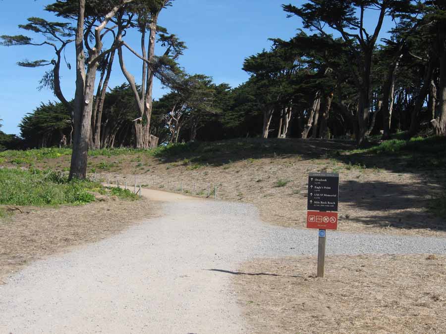
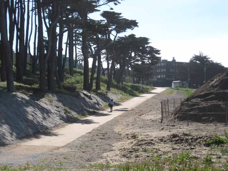
This central parking lot allows visitors to branch off to the Cliff House, Sutro Baths site, Lands End Trail or USS San Francisco Memorial. Cross Point Lobos Ave. to explore the Sutro Heights Park on the hill.
Features
- Hiking Trail
- Improved Surface
- Natural Surface Trail
- Parking
- Path to Beach
Aerial Photo from California Coastal Records Project


