Point Details
Nearest Town: Moss Landing
Location: Moss Landing Road at Harbor
Nearest Milepost
Route: Hwy 1
Mile Number:
Coordinates
36.800122674543, -121.78595890457
Trail Section
Monterey Section 1
Notes
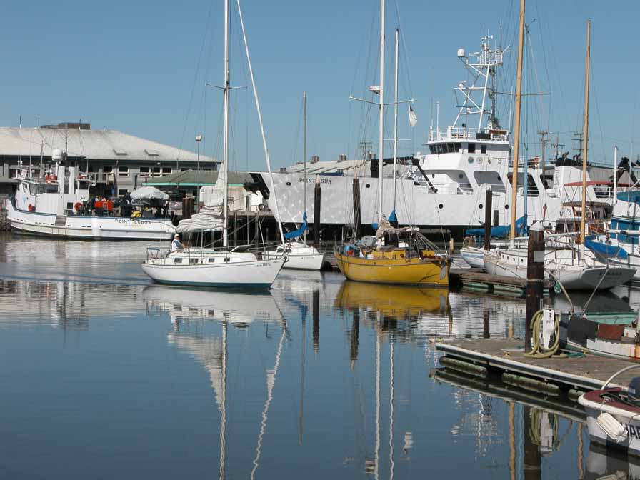
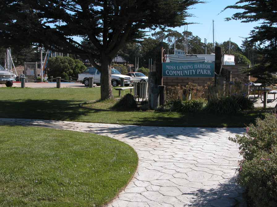
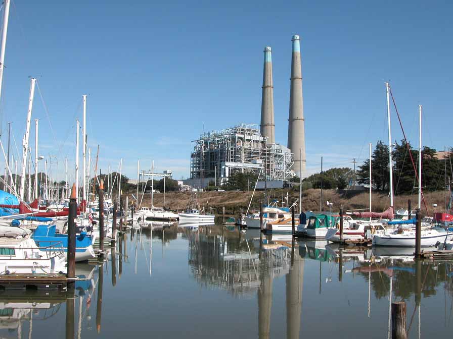
The Harbor Master office overlooks a public boat launch, parking, many boat slips, and the small Community Park. A small private RV park is on the corner, and Sanholdt Rd. leads to the point of the south jetty. Restaurants and industrial buildings line the shore along with the CA Dept of Fish & Game Marine Lab and Monterey Bay Aquarium Research Institute.
Features
- Boating Facilities
- CCC Access Point
- Entrance or Parking Fee
- Facilities for Disabled
- Fishing
- Food Concessions
- Natural Surface Trail
- Parking
- Path to Beach
- Restrooms
- Showers
Aerial Photo from California Coastal Records Project


