Point Details
Nearest Town: Andrew Molera State Park
Location: end of Camp Trail to Headlands Trail at Molera Point
Nearest Milepost
Route: Hwy 1
Mile Number:
Coordinates
36.280125554887, -121.85957621859
Trail Section
Monterey Section 10
Notes
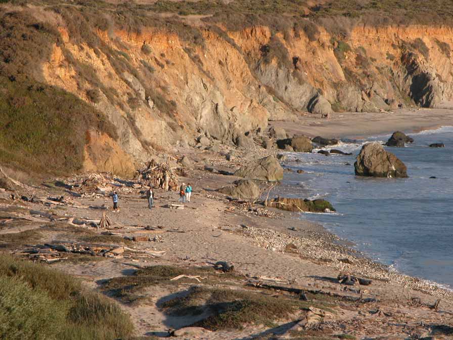
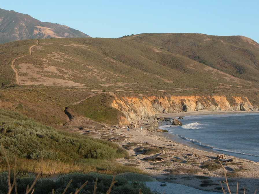
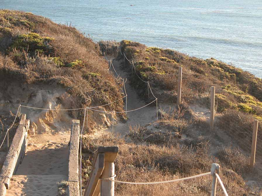
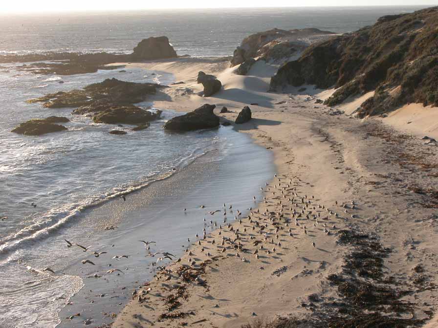
Molera Point offers fabulous views of the entire park and the beach to the north. the massive Pico Blanco peak rises above the Pasture Meadow to the east, and Pfeiffer Ridge stretches to the south at Coopers Point.
Features
- CCC Access Point
- Natural Surface Trail
- Viewpoint
Aerial Photo from California Coastal Records Project


