Usage Notes

Legend: For details on the icons and trail colors, please click the legend icon on the map above.

Layers: Other layers are available. See the California Coastal Commission and Coastal Conservancy Completed Sections layer for the official completed trail segments. (About progress on the trail completion project.)
Point Details
Nearest Town: Oregon border
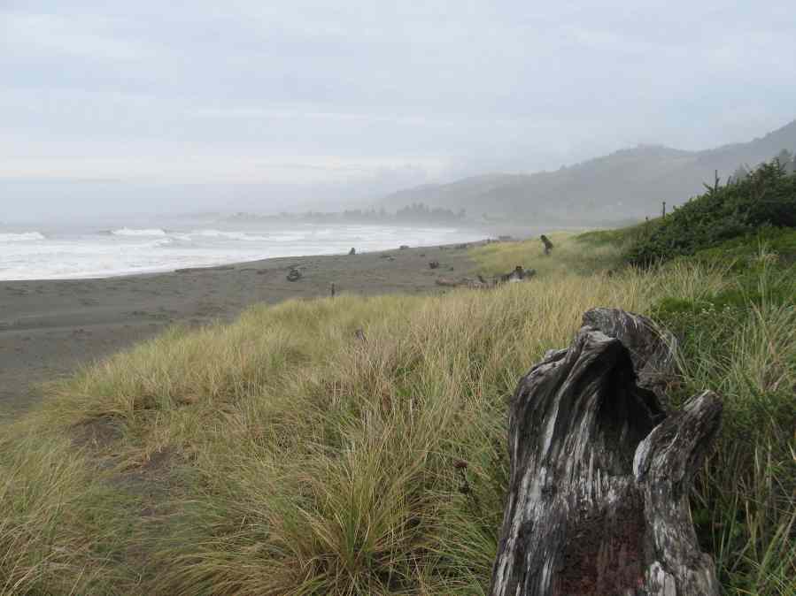
Location: west of Hwy 101, .5 miles south of Oregon border. Park on White Rock Loop
Nearest Milepost
Route: Hwy. 101
Mile Number:
Coordinates
41.993227116641, -124.20880786418
Trail Section
Del Norte Section 1
Notes
Features
- Beach Trail
- CCC Access Point
- Fishing
- Natural Surface Trail
- Parking
- Path to Beach
Aerial Photo from California Coastal Records Project


