Point Details
Nearest Town: San Clemente
Location: PCH and Camino Capistrano
Nearest Milepost
Mile Number:
Coordinates
33.4402436723, -117.64464820708
Trail Section
Orange County Section 7
Notes
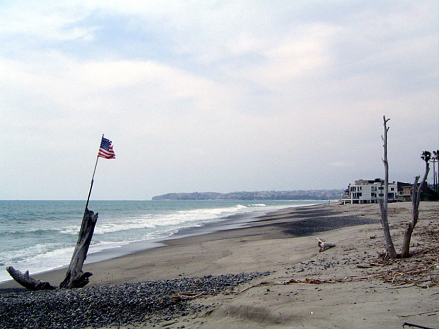
A stairway on the inland side of Pacific Coast Highway just south of Camino Capistrano leads to an underpass beneath the highway and the railroad tracks to the beach.
Features
- Beach Trail
- CCC Access Point
- Lifeguard
- Path to Beach
- Public Transportation
Aerial Photo from California Coastal Records Project

