Usage Notes

Legend: For details on the icons and trail colors, please click the legend icon on the map above.

Layers: Other layers are available. See the California Coastal Commission and Coastal Conservancy Completed Sections layer for the official completed trail segments. (About progress on the trail completion project.)
Point Details
Nearest Town: Pebble Beach
Location: 17 Mile Drive at Spyglass Hill Rd.
Nearest Milepost
Mile Number:
Coordinates
36.589667056868, -121.96297871617
Trail Section
Monterey Section 5
Notes
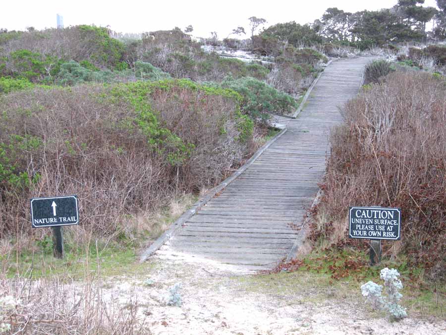
Seal Rock Creek forms the border of this sandy picnic area, and across the street a nature trail heads off onto the dunes.
Features
- Beach Trail
- Parking
- Path to Beach
Aerial Photo from California Coastal Records Project

