Usage Notes

Legend: For details on the icons and trail colors, please click the legend icon on the map above.

Layers: Other layers are available. See the California Coastal Commission and Coastal Conservancy Completed Sections layer for the official completed trail segments. (About progress on the trail completion project.)
Point Details
Nearest Town: Bixby Creek
Location: Four miles south on Old Coast Road from Bixby Bridge
Nearest Milepost
Route: Hwy 1
Mile Number:
Coordinates
36.343346176031, -121.86886219838
Trail Section
Monterey Section 9
Notes
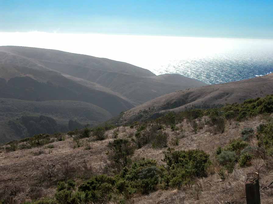
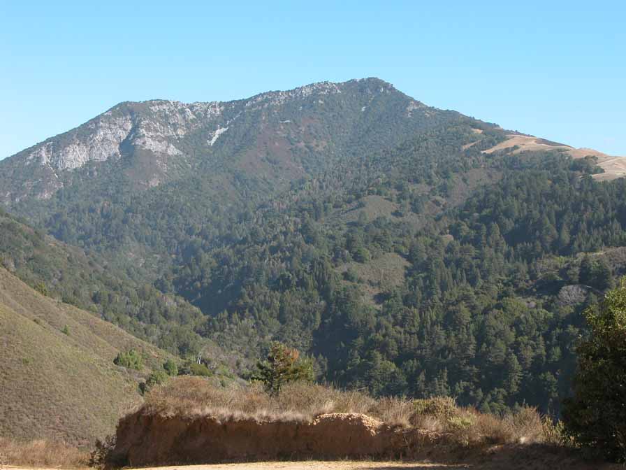
The road/trail peaks at Sierra Summit between the Bixby/Sierra Creek and Little Sur watersheds. Wide vistas open up in the grasslands with views to the ocean and Pico Blanco to the southeast.
Features
- Improved Surface
- Viewpoint
Aerial Photo from California Coastal Records Project


