Point Details
Nearest Town: Coronado
Location: Coronado Cays Boulevard, north to Coronado Bay Road
Nearest Milepost
Mile Number:
Coordinates
32.629870574332, -117.1381817953
Trail Section
San Diego Section 11
Notes
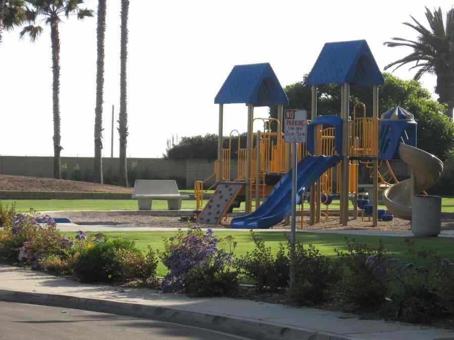
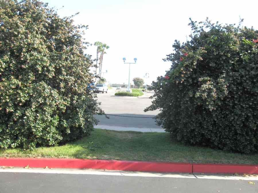
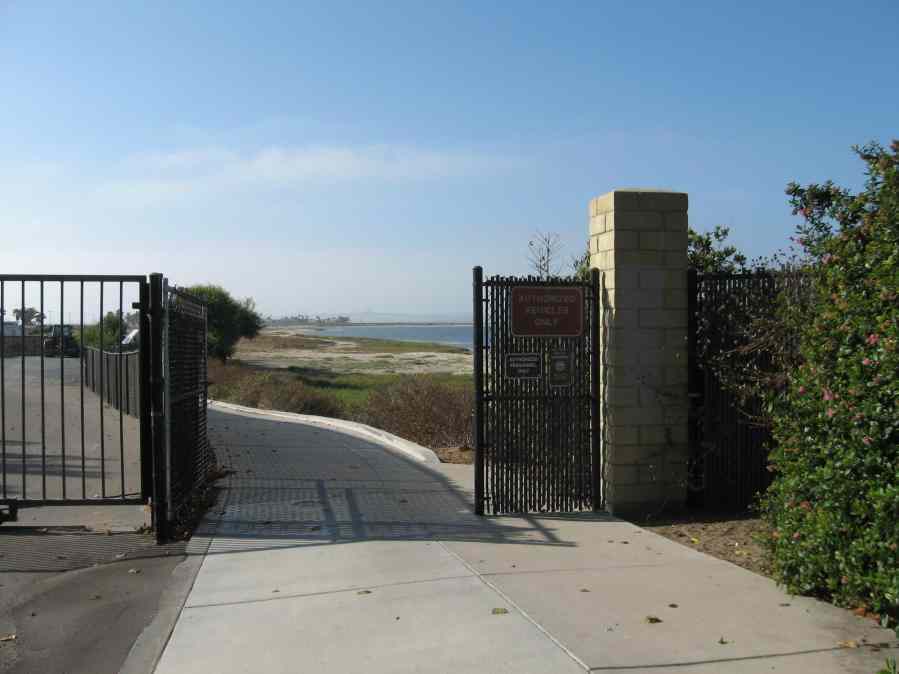
Hiking trail leads into Silver Strand State Beach from the north end. (hotel guard will tell you there is no public access) Playground is available for children.
Features
- CCC Access Point
- Hiking Trail
- Parking
- Path to Beach
- Public Transportation
Aerial Photo from California Coastal Records Project


