Point Details
Nearest Town: Fort Ord
Location: Fort Ord Dunes State Park
Nearest Milepost
Route: Hwy 1
Mile Number:
Coordinates
36.660718807292, -121.82219928746
Trail Section
Monterey Section 3
Notes
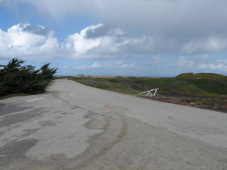
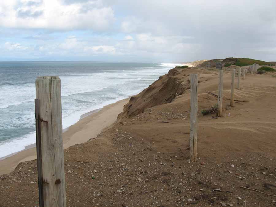
Stillwell Hall had to be demolished, but the site will be the location of a new visitor parking. Use care around the bluff edge.
Features
- Hiking Trail
- Viewpoint
Aerial Photo from California Coastal Records Project


