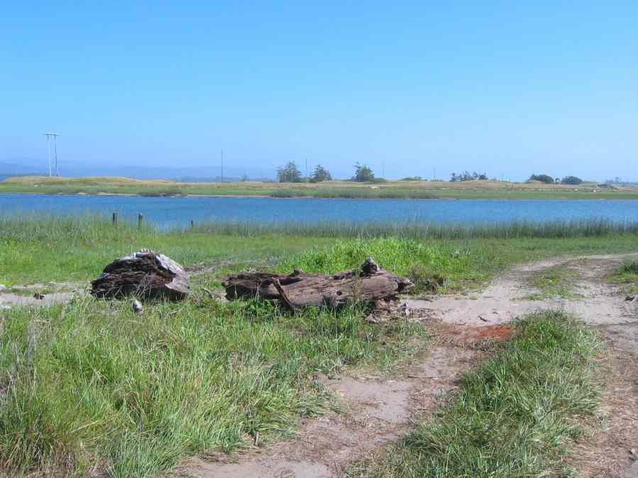
Point Details
Nearest Town: Lake Earl
Location: End of Tell Blvd. on north shore of Lake Earl
Nearest Milepost
Mile Number:
Coordinates
41.842383090371, -124.20534988513
Trail Section
Del Norte Section 3
Notes
Features
- CCC Access Point
- Parking
Aerial Photo from California Coastal Records Project

