Usage Notes

Legend: For details on the icons and trail colors, please click the legend icon on the map above.

Layers: Other layers are available. See the California Coastal Commission and Coastal Conservancy Completed Sections layer for the official completed trail segments. (About progress on the trail completion project.)
Point Details
Nearest Town: Cayucos to Morro Bay
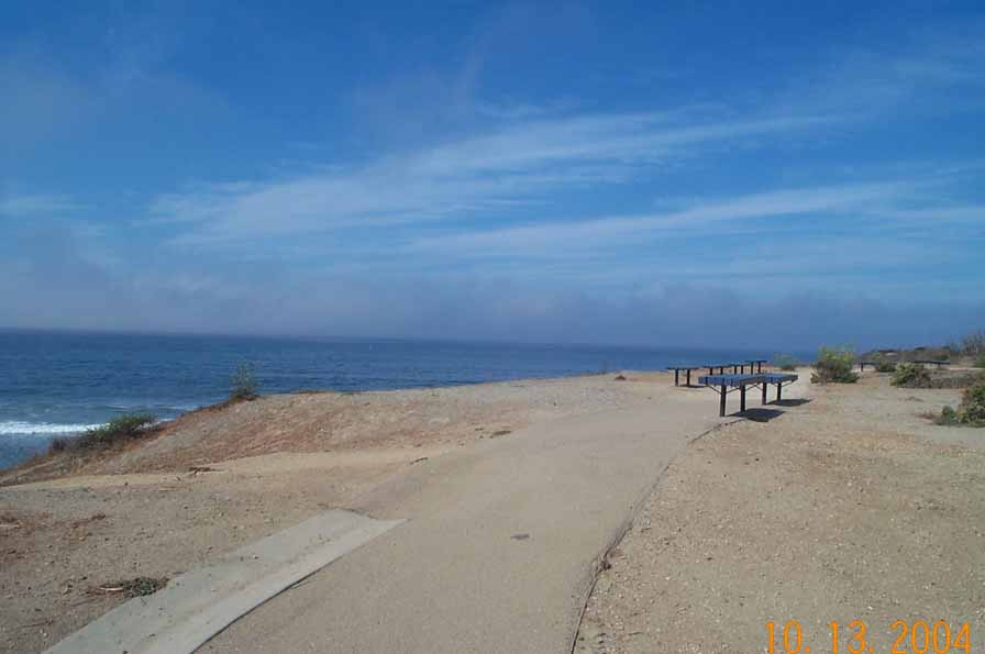
Location: End od Toro Lane off Yerba Buena St, Morro Bay
Nearest Milepost
Mile Number:
Coordinates
35.406166680849, -120.87057772016 ![]()
Trail Section
San Luis Obispo Section 7
Notes
Paved handicap trail, and benches available.
Features
- Beach Trail
- Coastal Trail
- Facilities for Disabled
- Not on Coastal Trail
- Parking
- Stairs to Beach
- Viewpoint
Aerial Photos from California Coastal Records Project