Usage Notes

Legend: For details on the icons and trail colors, please click the legend icon on the map above.

Layers: Other layers are available. See the California Coastal Commission and Coastal Conservancy Completed Sections layer for the official completed trail segments. (About progress on the trail completion project.)
Point Details
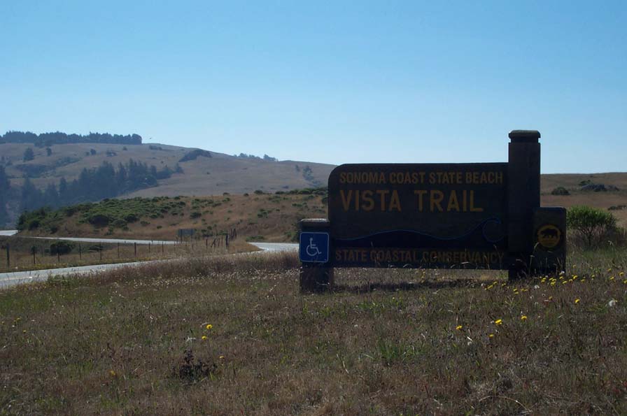
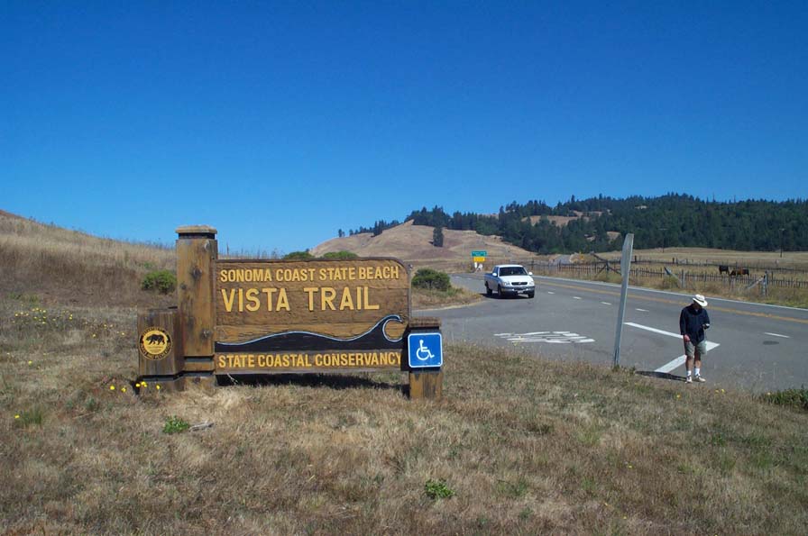
Nearest Town: north of Jenner and south of Ft. Ross
Location: immediately south of Meyers Rd Junction on Hwy 1
Nearest Milepost
Route: Hwy 1
Mile Number: 26.19
Coordinates
38.478546812116, -123.16266210513 ![]()
Trail Section
Sonoma Section 5
Notes
One mile of wheelchair-accessible paved and graded trail looks out over coastline. Has a restroom with handicap access.
Features
- CCC Access Point
- Facilities for Disabled
- Improved Surface
- Parking
- Prominent Man Made Feature
- Prominent Natural Feature
- Restrooms
- Viewpoint
Aerial Photos from California Coastal Records Project