Point Details
Nearest Town: McKinleyville
Location: west of Hwy 101, 2 mi. north of McKinleyville
Nearest Milepost
Mile Number:
Coordinates
40.994029073167, -124.11449463735
Trail Section
Humboldt Section 6
Notes
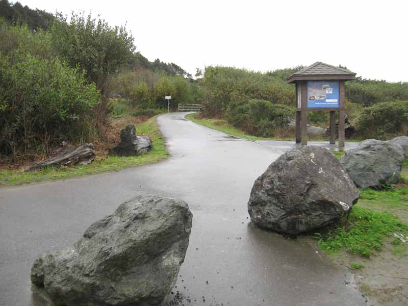
The wide sandy beach has both a Day Use and a driving entrance (check for hours). The Hammond Trail starts at the southern parking lot and continues up the bluff toward Arcata. Beach route is also available.
Features
- Beach Trail
- Campground
- CCC Access Point
- Firepits
- Natural Surface Trail
- Other
- Parking
- Path to Beach
- Restrooms
Aerial Photo from California Coastal Records Project

