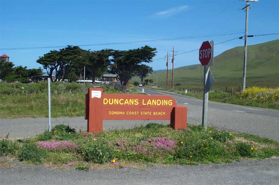
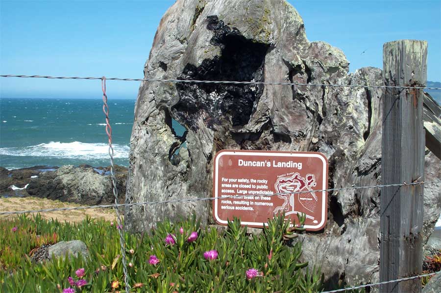
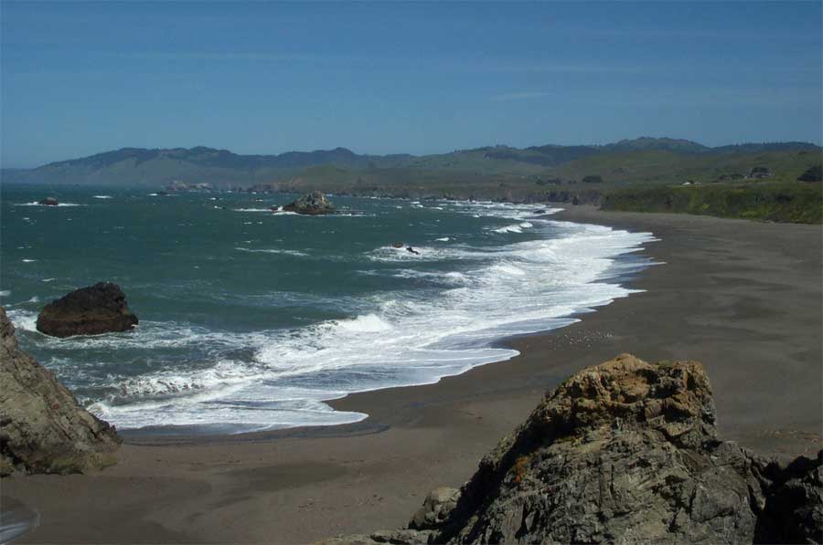
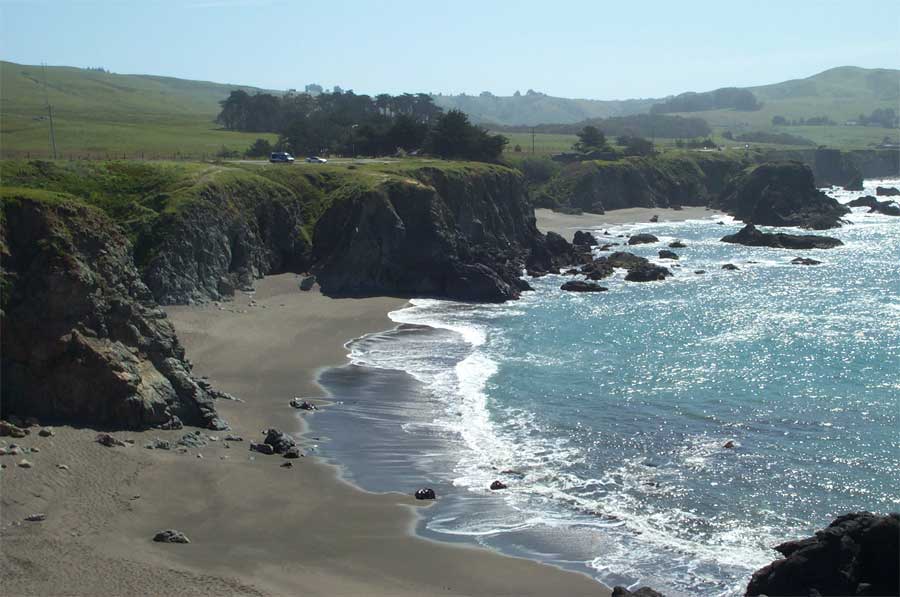
Point Details
Nearest Town: Sonoma Coast State Beach
Location: Between Bodega Bay and Jenner on Highway 1 - 7 miles +/- north of Bodega Bay
Nearest Milepost
Route: 1
Mile Number: 16.37
Coordinates
38.395664254896, -123.09294173822
Trail Section
Sonoma Section 7
Notes
This is the site of 'Death Rock' where dangerous surf and sleeper waves have killed many. The existing restroom is closed and is in disrepair.
Features
- Beach Trail
- CCC Access Point
- Improved Surface
- Natural Surface Trail
- Other
- Parking
- Path to Beach
- Prominent Natural Feature
- Signage
- Viewpoint
Aerial Photo from California Coastal Records Project


