Point Details
Nearest Town: San Francisco
Location: Enter Fort Funston off Skyline Boulevard
Nearest Milepost
Mile Number:
Coordinates
37.714347027477, -122.50266104295
Trail Section
San Mateo Section 1
Notes
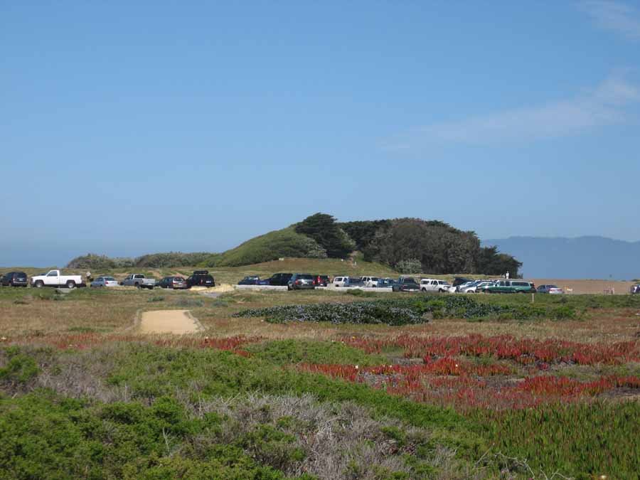
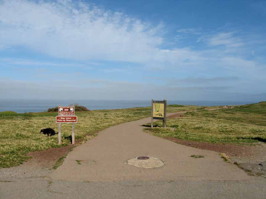
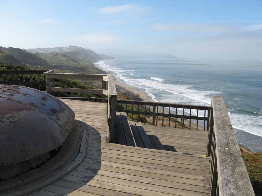
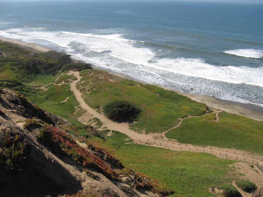
The parking lot at the south end of the park is a junction for several trails. The handicapped boardwalk leads to a great observation deck with views north and south. Sunset Trail leads north, while a steep horse trail leads southwest to the beach.
Features
- CCC Access Point
- Facilities for Disabled
- Hiking Trail
- Historic Feature
- Natural Surface Trail
- Parking
- Path to Beach
- Prominent Man Made Feature
- Restrooms
- Signage
- Trail Junction
- Viewpoint
Aerial Photo from California Coastal Records Project


