Usage Notes

Legend: For details on the icons and trail colors, please click the legend icon on the map above.

Layers: Other layers are available. See the California Coastal Commission and Coastal Conservancy Completed Sections layer for the official completed trail segments. (About progress on the trail completion project.)
Point Details
Nearest Town: Big Sur coast
Location: Hwy 1, 2 miles south of Malpaso Creek.
Nearest Milepost
Route: Hwy 1
Mile Number: 66
Coordinates
36.456299011471, -121.92398065468
Trail Section
Monterey Section 8
Notes
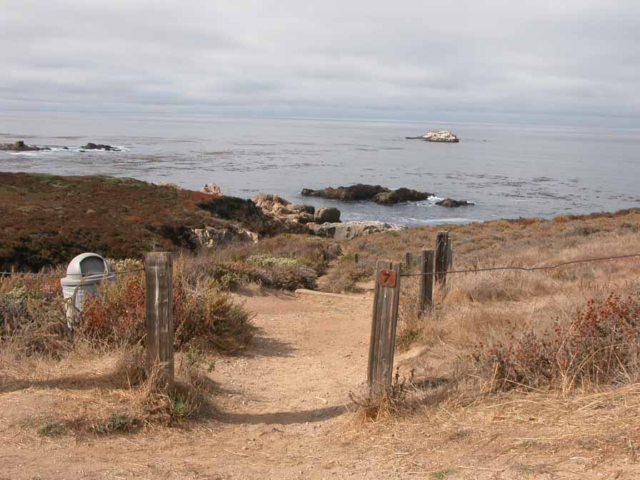
Several trails join here, including the Sobranes Creek Loop into the mountains. The CCT leaves the highway to cross the bluffs to Moby Ling Cove and on to Soberanes Point. Whale Peak lies inland to the southeast.
Features
- CCC Access Point
- Hiking Trail
- Natural Surface Trail
- Parking
- Path to Beach
- Restrooms
Aerial Photo from California Coastal Records Project


