Usage Notes

Legend: For details on the icons and trail colors, please click the legend icon on the map above.

Layers: Other layers are available. See the California Coastal Commission and Coastal Conservancy Completed Sections layer for the official completed trail segments. (About progress on the trail completion project.)
Point Details
Nearest Town: Gaviota
Location: Hwy 101 at Gaviota Beach Rd. Gaviota
Nearest Milepost
Mile Number:
Coordinates
34.471974789885, -120.22761572071
Trail Section
Santa Barbara Section 4
Notes
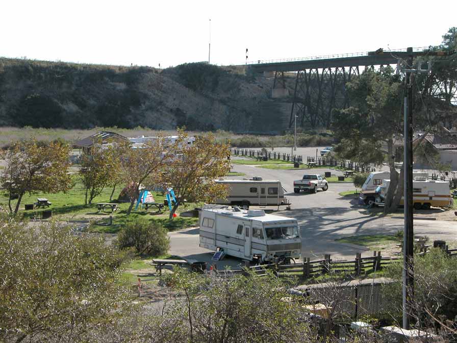
Over five miles of shoreline are accessed through the large campground and trestle area. The pier offers a boat launch and fishing from the pier. Trails from the upland areas connect to Los Padres National Forest.
Features
- Beach Trail
- Boating Facilities
- CCC Access Point
- Campground
- Entrance or Parking Fee
- Facilities for Disabled
- Firepits
- Fishing
- Food Concessions
- Hiking Trail
- Lifeguard
- Natural Surface Trail
- Parking
- Path to Beach
- Prominent Man Made Feature
- Restrooms
- Showers
- Signage
- Viewpoint
- Walkable Pier or Jetty
Aerial Photo from California Coastal Records Project


