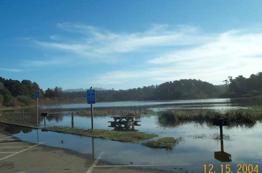
Point Details
Nearest Town: Cleone, north of Fort Bragg
Location: Mill Creek Road in MacKerricher State Park
Nearest Milepost
Route: Highway 1
Mile Number: 64
Coordinates
39.490248115248, -123.79517104617
Trail Section
Mendocino Section 7
Notes
North Lake Trailhead to boardwalk at boat ramp. Trail continues around the lake.
Picnic tables and firepits.
Features
- Beach Trail
- Bike Path
- Boating Facilities
- Drinking Water
- Equestrian Trail
- Facilities for Disabled
- Firepits
- Fishing
- Hiking Trail
- Improved Surface
- Natural Surface Trail
- Other
- Parking
- Path to Beach
- Prominent Natural Feature
- Restrooms
- Signage
- Trail Junction
- Viewpoint
Aerial Photo from California Coastal Records Project


