Point Details
Nearest Town: Moss Landing
Location: Eighth St. Fort Ord
Nearest Milepost
Route: Hwy 1
Mile Number:
Coordinates
36.661169876325, -121.81587072293
Trail Section
Monterey Section 3
Notes
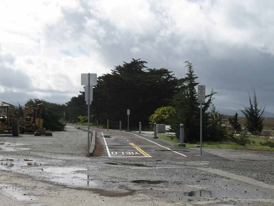
A new link in the Monterey Bay Recreational Trail has just been completed on the old Fort Ord property. This link leads south on the east side of the freeway. The continuous trail is located on the west side of Hwy 1.
Features
- Bike Path
- Hiking Trail
- Improved Surface
Aerial Photo from California Coastal Records Project

