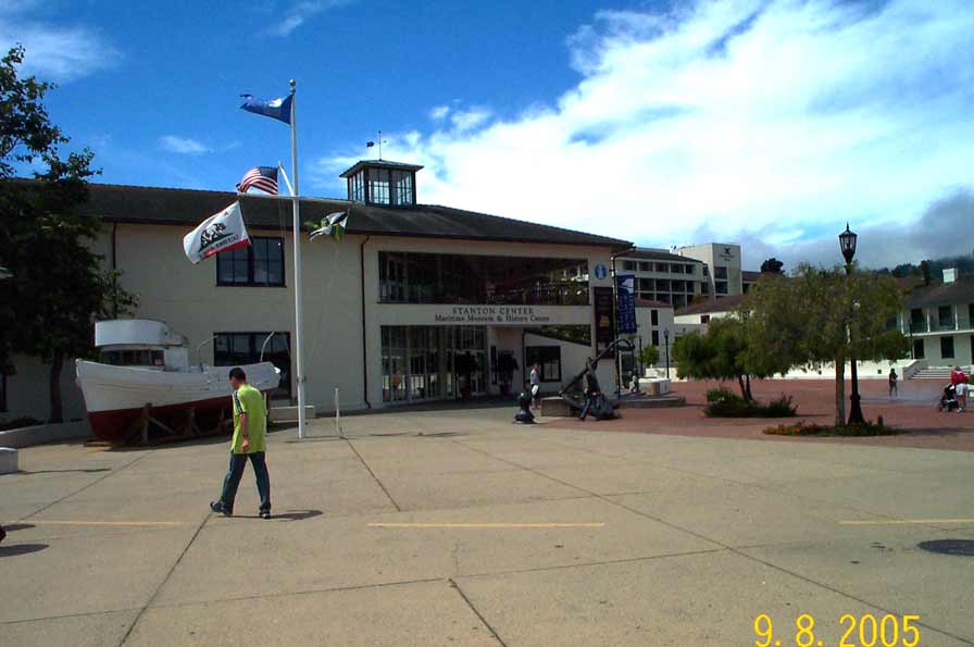
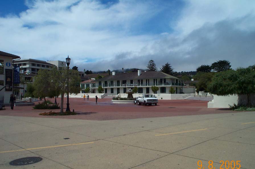
Point Details
Nearest Town: Monterey
Location: Fisherman's Wharf, Del Monte Ave.
Nearest Milepost
Route: 1
Mile Number:
Coordinates
36.602803968554, -121.89310354235
Trail Section
Monterey Section 5
Notes
Headquarters at 20 Custom House Plaza
Features
- Bike Path
- CCC Access Point
- Drinking Water
- Entrance or Parking Fee
- Facilities for Disabled
- Food Concessions
- Hiking Trail
- Historic Feature
- Historic Marker
- Natural Surface Trail
- Parking
- Path to Beach
- Restrooms
- Telephone
Aerial Photo from California Coastal Records Project


