Point Details
Nearest Town: Big Sur coast
Location: Hwy 1 just north of Palo Colorado Rd.
Nearest Milepost
Route: Hwy 1
Mile Number:
Coordinates
36.401079651956, -121.90678855741
Trail Section
Monterey Section 8
Notes
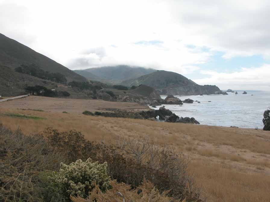
Notleys Landing is visible from the highway, but is not accessible. The old shipping point is privately owned. The Rocky Creek Bridge is visible in the background.
Features
- Viewpoint
Aerial Photo from California Coastal Records Project

