Point Details
Nearest Town: Rancho Palos Verdes
Location: End of La Rotunda Dr. off Palos Verdes Dr. South
Nearest Milepost
Mile Number:
Coordinates
33.728464313581, -118.34063871901
Trail Section
Los Angeles Section 9
Notes
Two organizations, P.V. Land Conservancy (www.rplc.org) and Los Serenos de Point Vicente (www.losserenos.org), regularly offer nature walks along the trails and bluffs. Check their web pages for schedules.
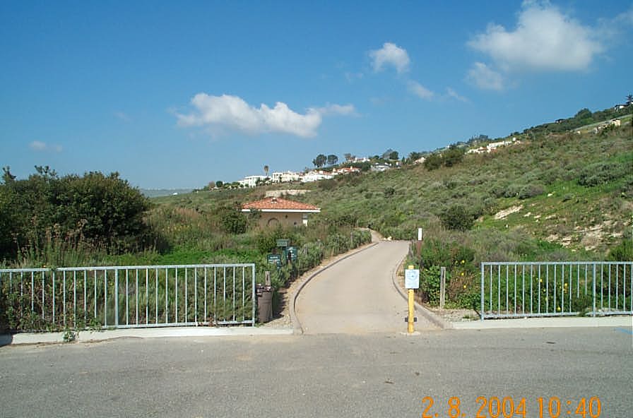
Beach path starts at west end of parking lot. Trail is paved - suitable for wheelchairs - to the bluff top. Trails are dirt and rock surface thereafter. A switchback trail leads to the beach about 1/4 mi. downcoast from intersection with bluff top trail. Shoreline is rocky difficult walking both up and downcoast.
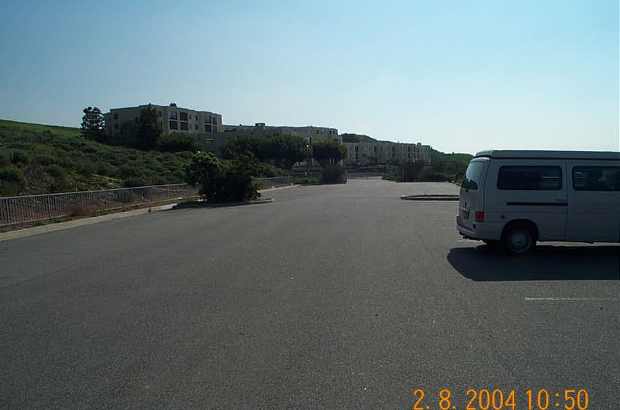
Upcoast trail joins the access trail leading to the clubhouse. Downcoast the trail continues to San Pedro. A spur trail leads uphill to the ruins of a World War II bunker. Parking lot gate closes at dusk.
Features
- Beach Trail
- CCC Access Point
- Drinking Water
- Facilities for Disabled
- Fishing
- Hiking Trail
- Historic Feature
- Improved Surface
- Natural Surface Trail
- Other
- Other Coastal Access
- Parking
- Path to Beach
- Prominent Man Made Feature
- Prominent Natural Feature
- Restrooms
- Signage
- Surfing
- Telephone
- Viewpoint
Aerial Photo from California Coastal Records Project


